The chances for big tornado days were not great, but it still turned out to be a really fun tour, with 8 chase days in a row before things closed down. We did see three tornadoes, albeit brief ones, and there was the potential of significant tornadoes on a couple of days.
One unique thing about the trip was that 5 of the 8 chase days were in areas I'd never chased before and some in places I'd never been before: southeastern New Mexico, west Texas, etc. Considering there was not a single day with a SPC Moderate threat, we had great storms almost every day, and some especially good storm structure.
2014 Photo Album:
2014 Photo Album with captions
Chase Day Pages:
May 20th, 2014: Long lasting "I-70" great structured supercell from Bennett to Burlington, CO.
May 21st, 2014: Monster tornadic hailstorm near Denver International Airport.
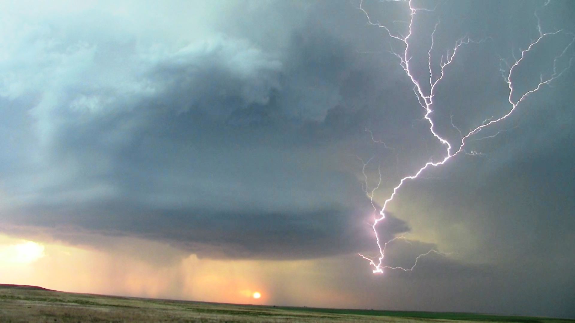
May 23rd, 2014: Sunset supercell with great structure near Carlsbad, NM.
May 24th, 2014: Massive dusk supercell near Carlsbad, NM with power flashes.
May 26th, 2014: Patricia, TX and Garden City, TX tornadic supercells.