|
 |
 |
 |
|
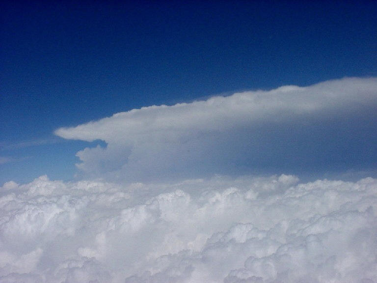
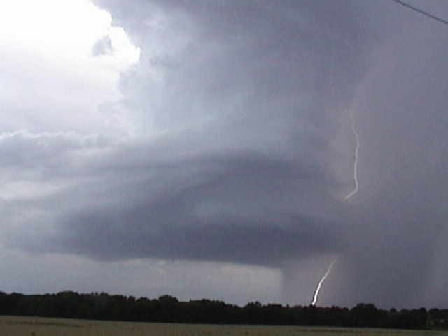
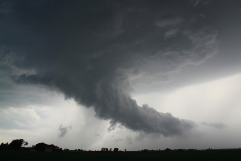
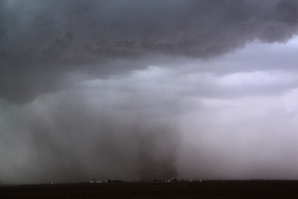
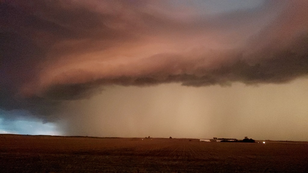
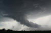
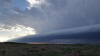
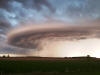
A
supercell thunderstorm over St. Louis taken from the air. |
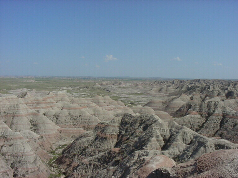
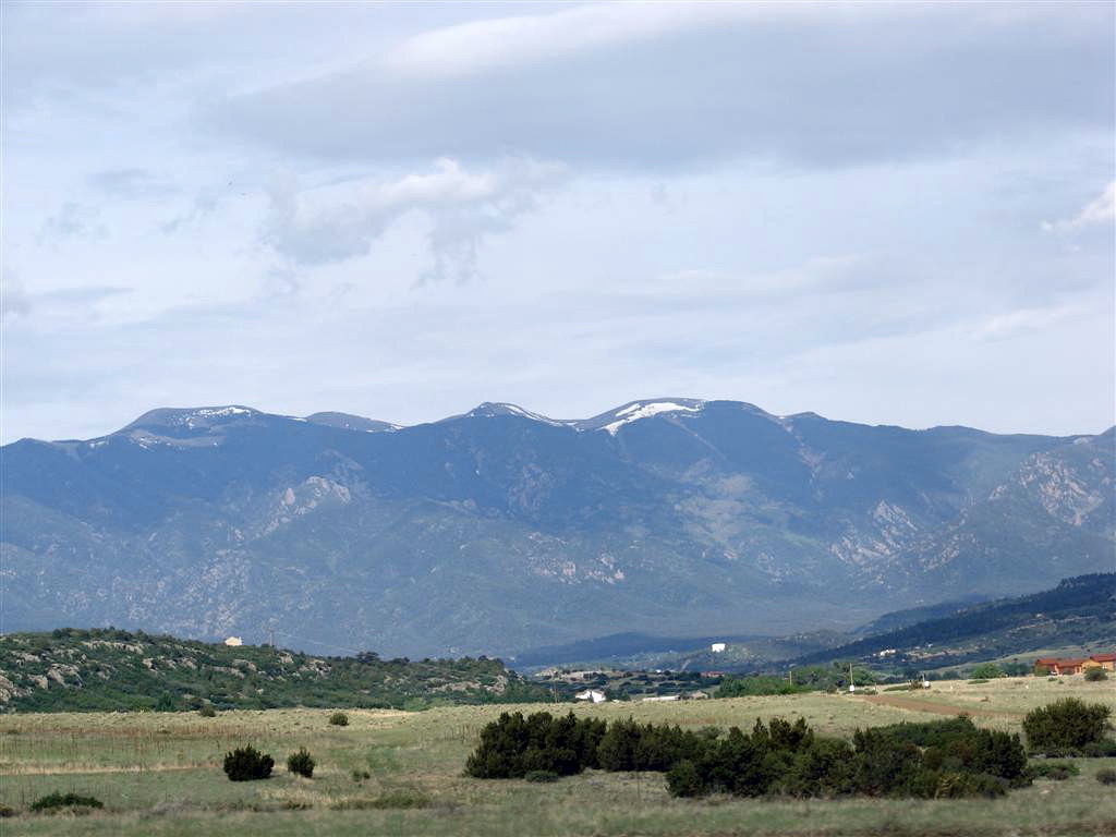
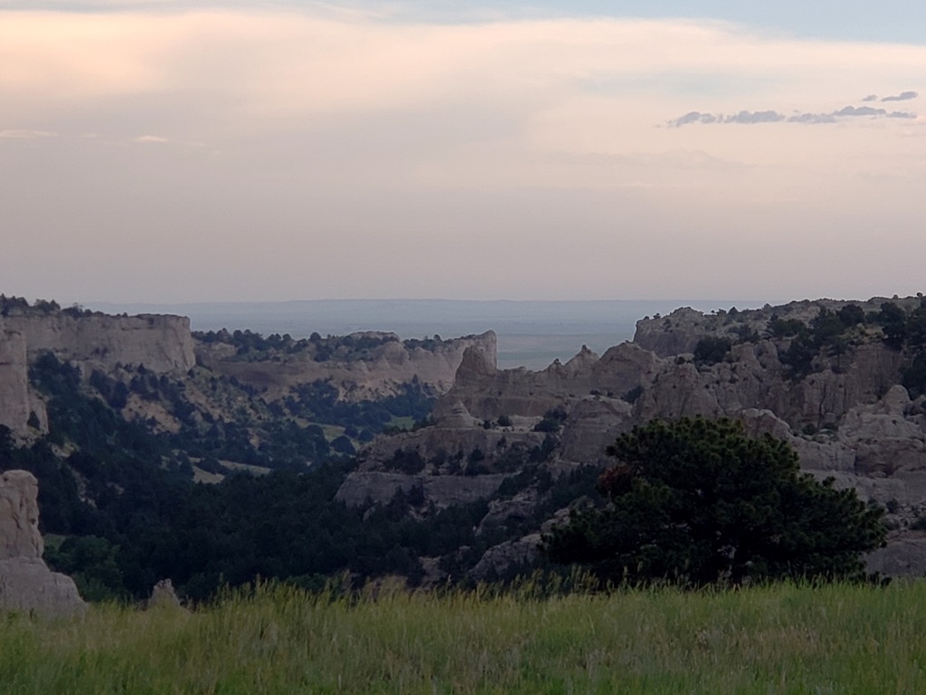
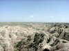
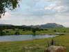
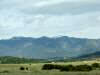
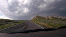
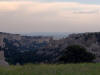
The
Badlands in Southwest South Dakota. |
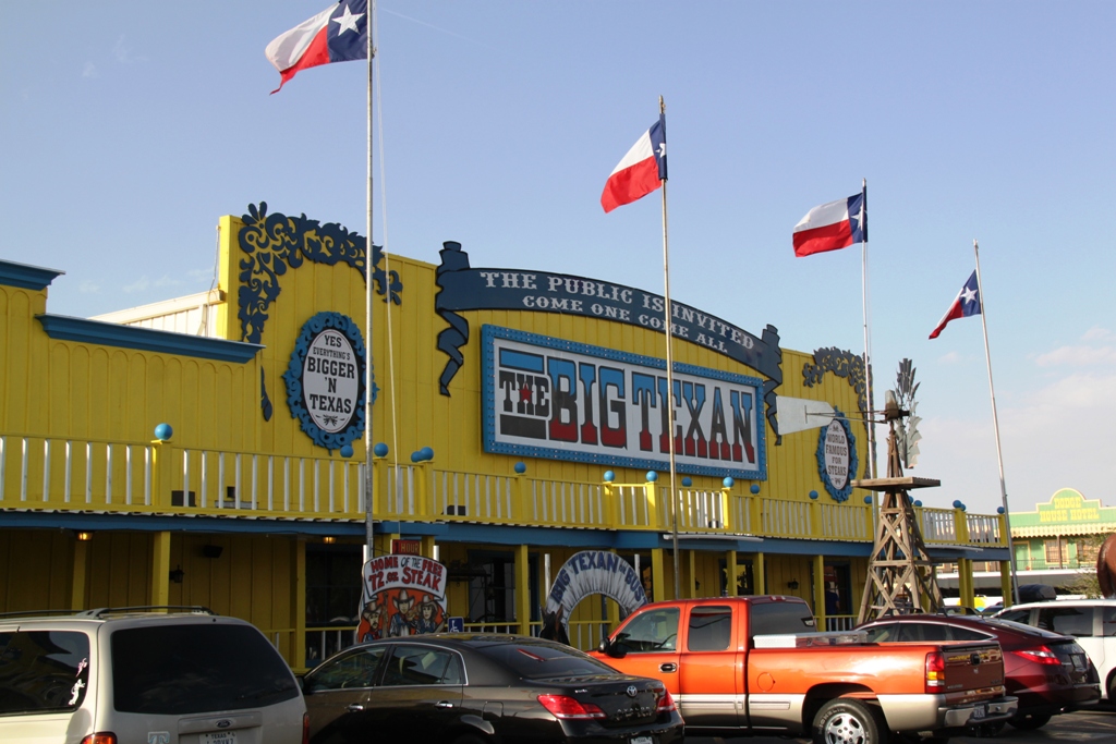
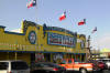
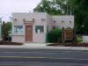
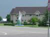
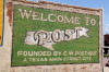
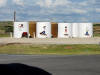
The Big
Texan, home of the 72 ounce steak and common chaser convergence point. |
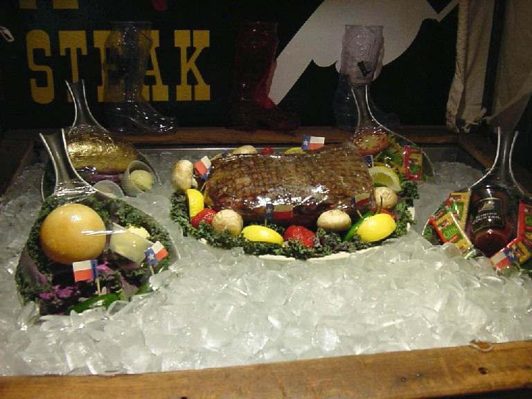
Eat
everything you see in this picture in one hour and its on the house! |
 |
 |
 |
 |
|
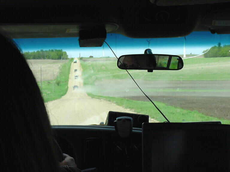
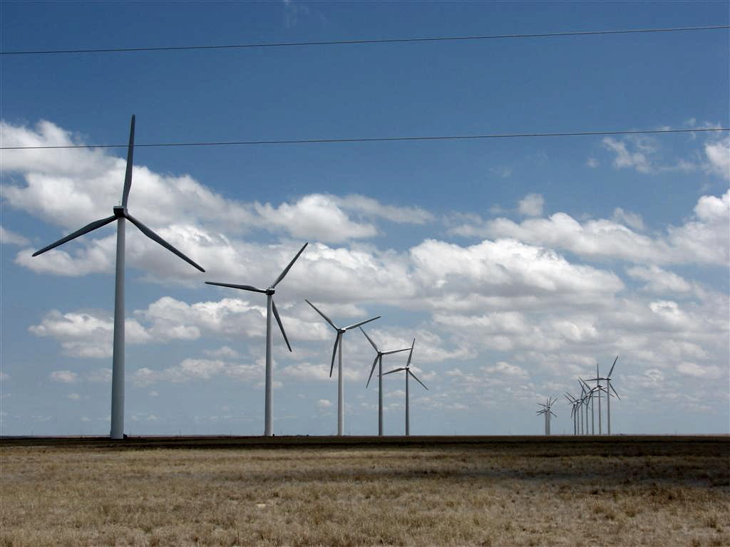
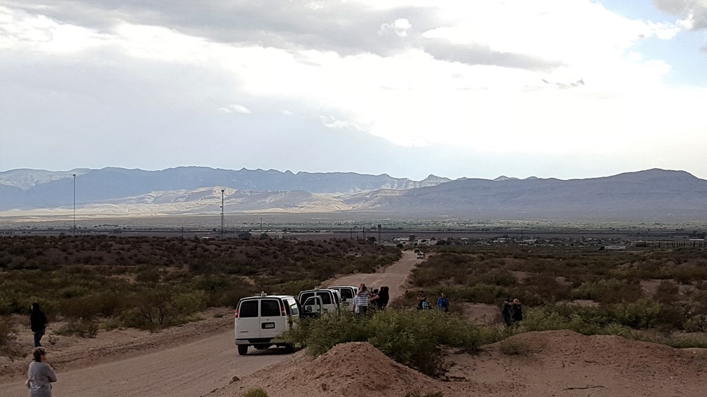
The SLT
caravan chases through a wind farm in Southwest Minnesota. |
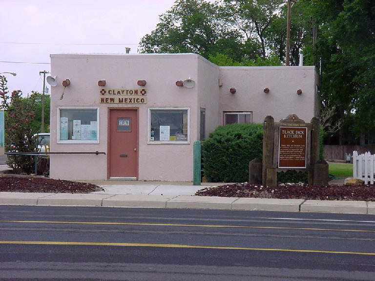
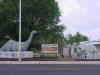
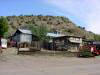
Clayton,
NM, the place where "Black Jack" Ketchum was hanged! |
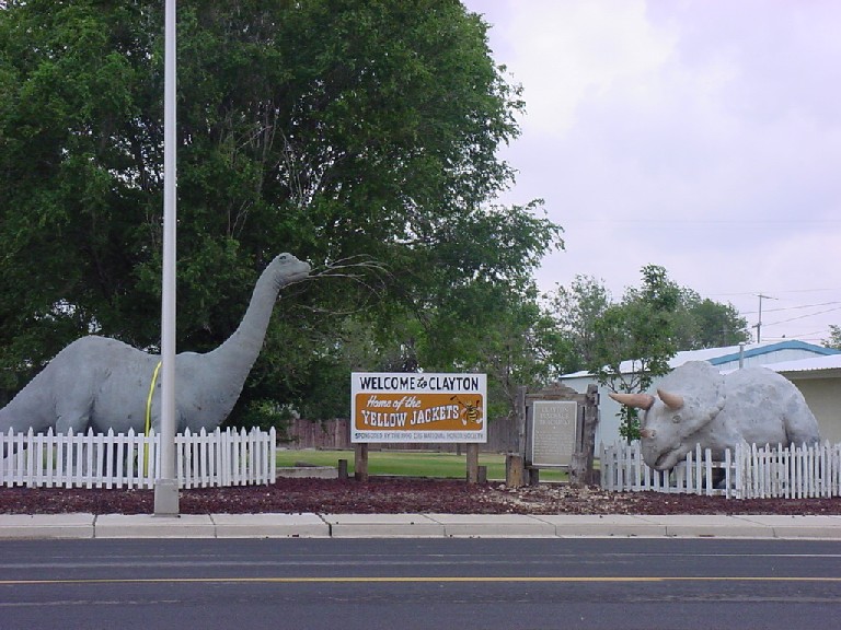
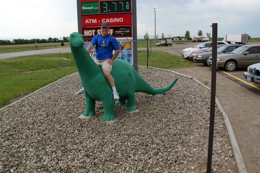
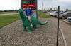
I guess
they had dinosaurs there too? |
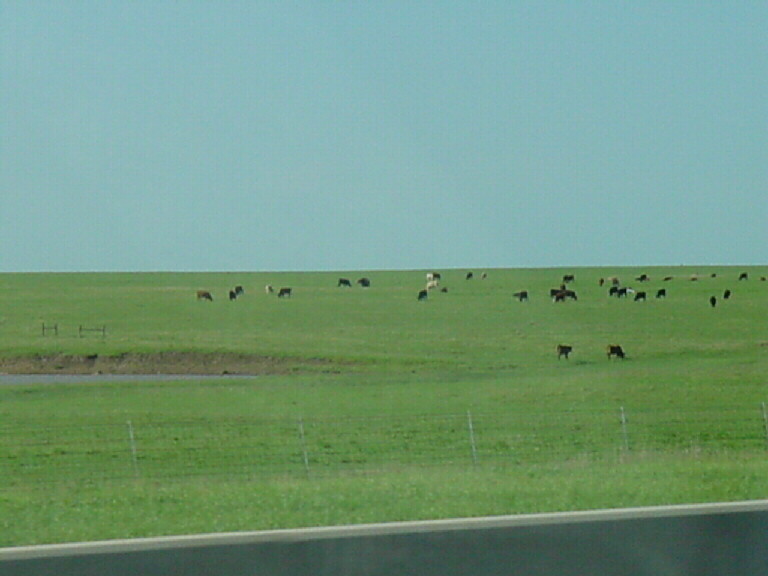
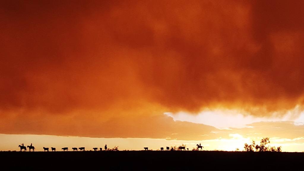
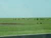
We got
cows! |
 |
 |
 |
 |
|
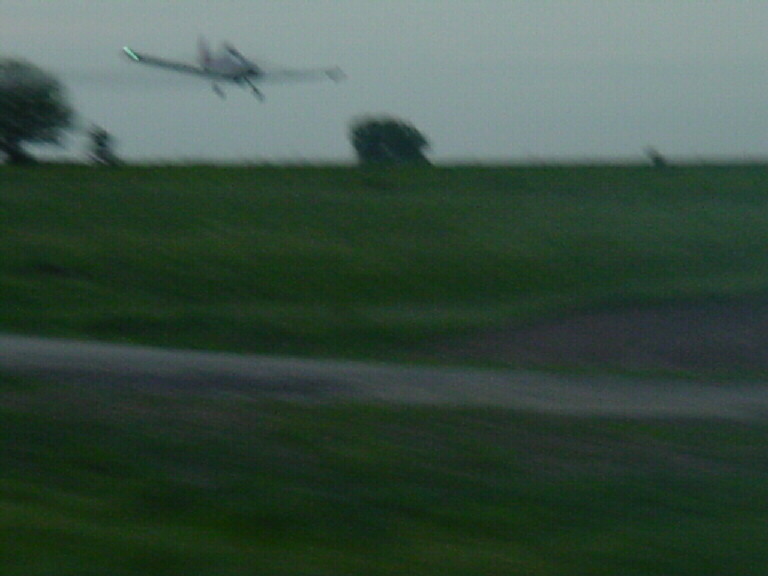
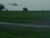
Getting
buzzed by a crop duster in Southern Nebraska. |
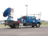
The new DOW truck featured
in season 2 of "Stormchasers" at a hotel in Colby, KS. |
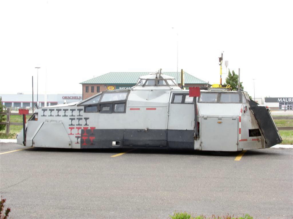
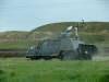
And of course the tornado
intercept vehicle (TIV), or is it the CIV (camera intercept vehicle)? |
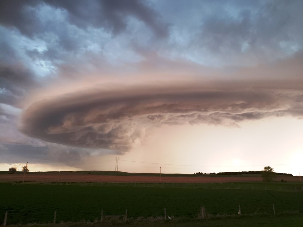
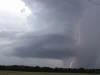
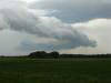
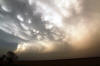
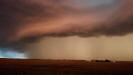
A very
nice LP storm with lightning in the precipitation core near Enterprise,
Kansas. |
 |
 |
 |
 |
|
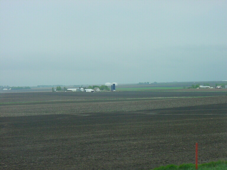
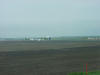
Iowa
farmland in May... Smelly! |
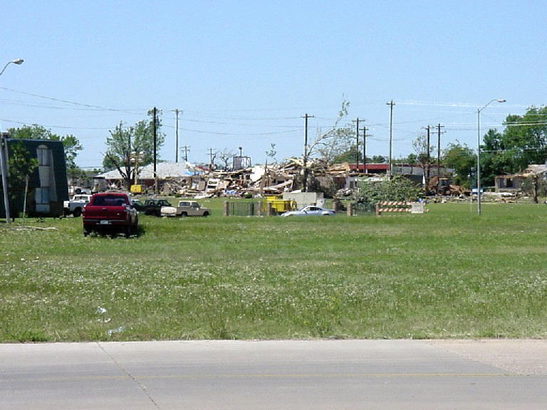
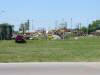
Major
tornado damage in Moore, Oklahoma after the May 9th, 2003 tornadoes. |
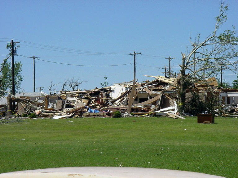
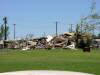
More
tornado damage in Moore. |
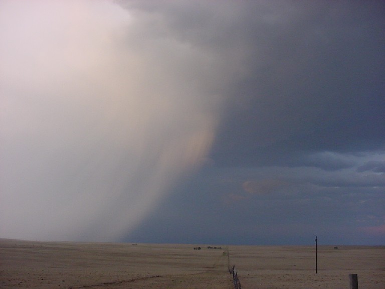
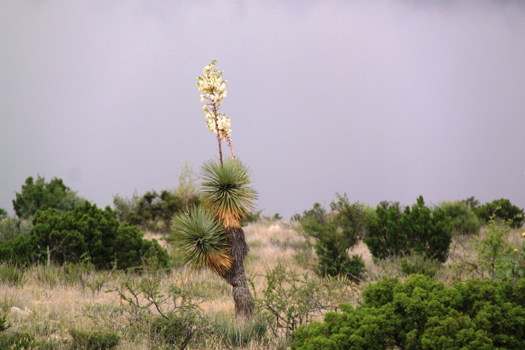
Nicely
sunlit rain shaft where the "deer and the antelope play" on the range in
New Mexico. |
 |
 |
 |
 |
|
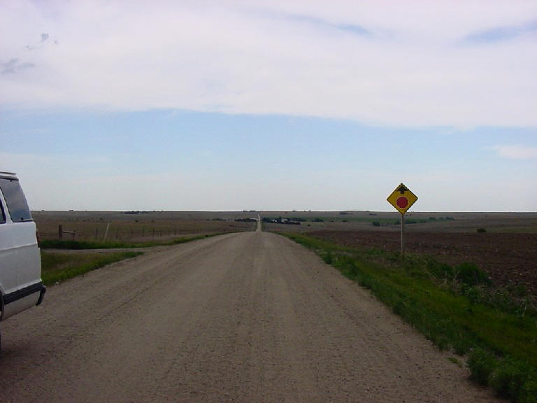
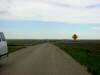
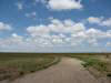
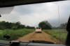
The road
to... nowhere? In Northern Kansas. |
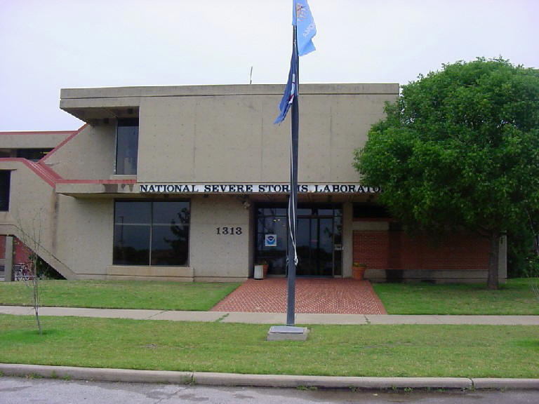
National
Severe Storms Laboratory in Norman, OK. |
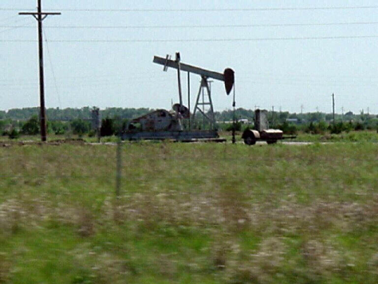
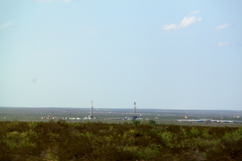
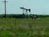
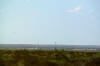
A common
sight on the Plains, an oil rig doing it's work. |
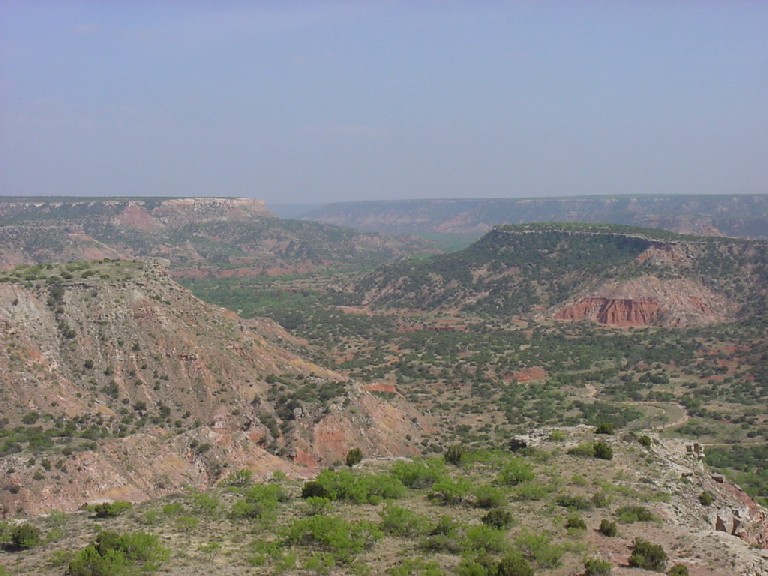
Palo
Duro Canyon, southeast of Amarillo, TX. |
 |
 |
 |
 |
|
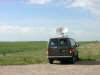
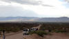
The
Silver Lining Tours lead van in the farmland of Eastern Colorado with
high based storms off in the distance. |
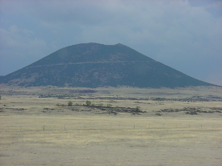
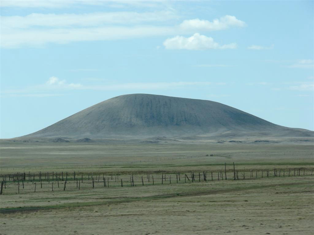
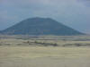
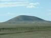
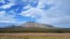
The
Mount Capulin Volcano in New Mexico. |
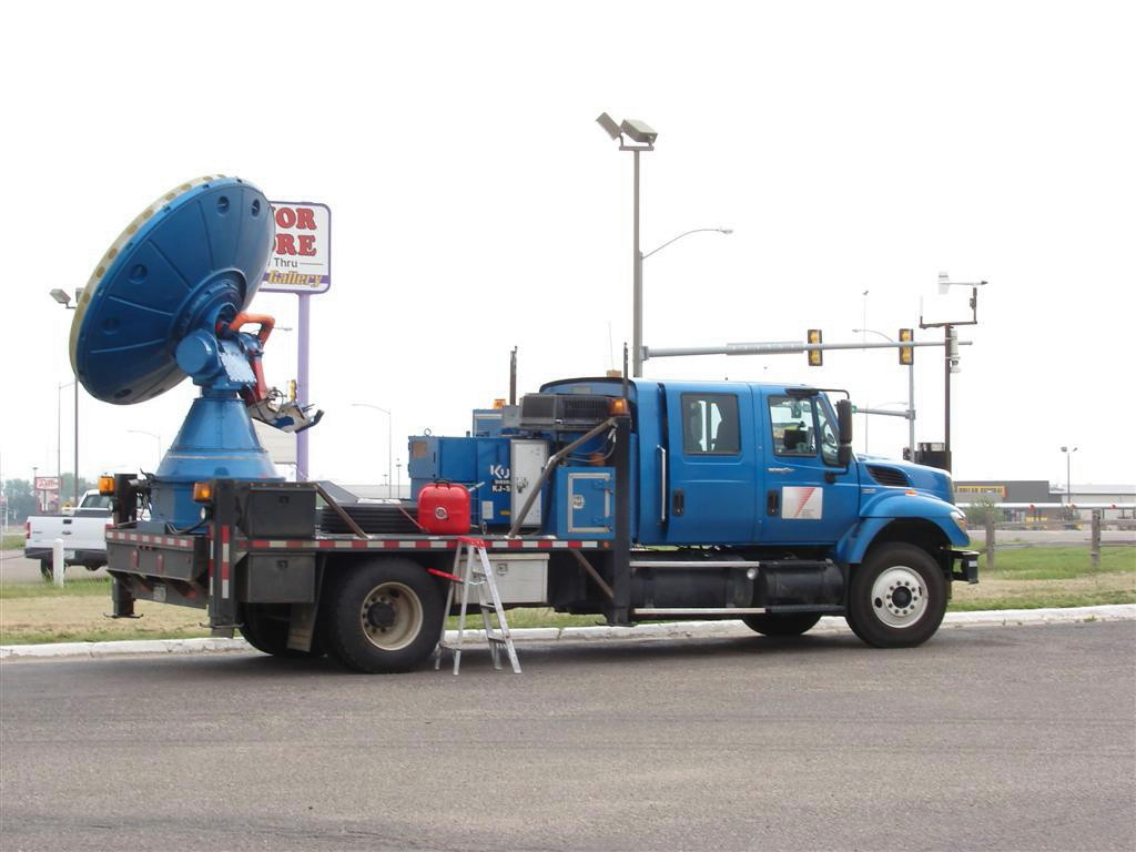
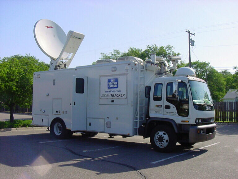
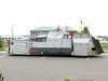
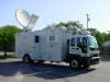
A mobile
uplink truck from The Weather Channel. |
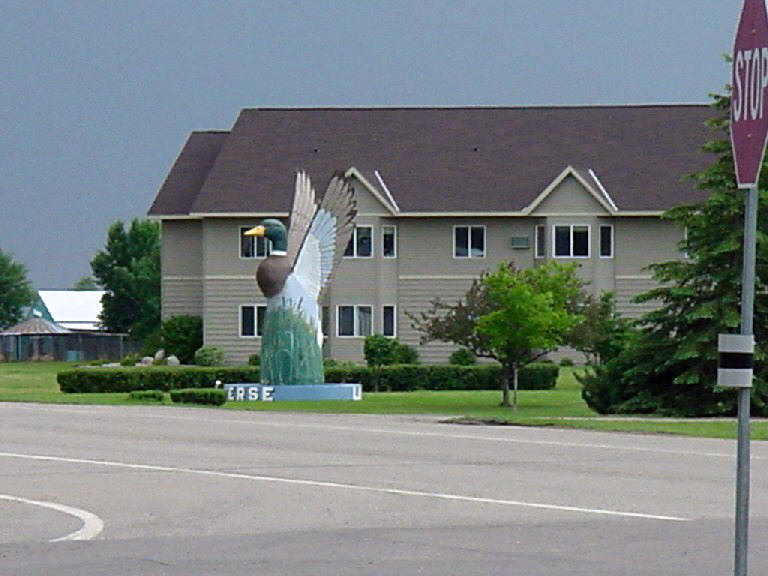
A weird
duck thing near Wheaton, Minnesota. |
 |
 |
 |
 |
|
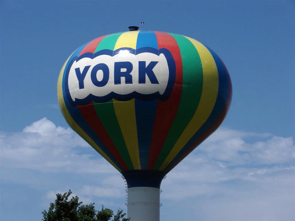
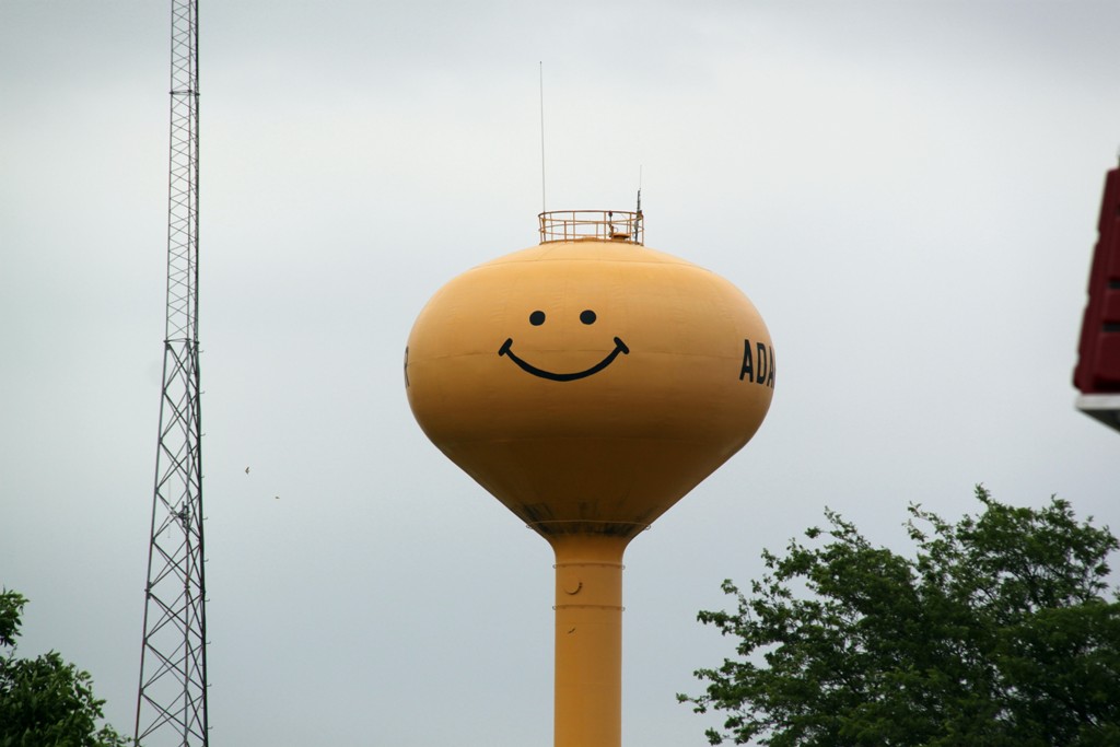
The
York, Nebraska water tower. |
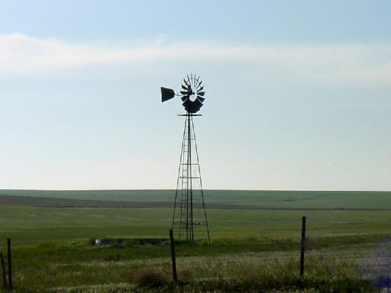
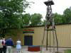
A great
plains classic: Windmill out in the farm land. |
"Stacked
plates" storm structure illuminated by lightning near Holly, KS. |
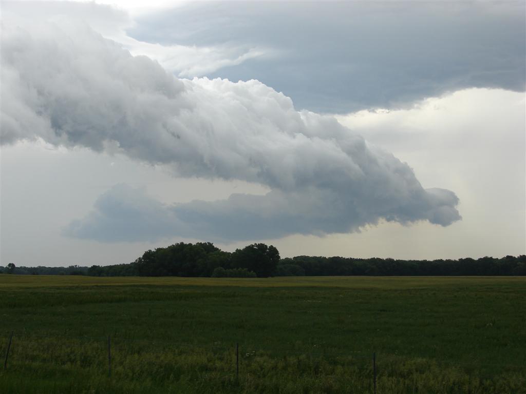
Shelf
cloud rushed out of a multi-cellular storm between Wichita and Salina,
KS |
 |
 |
 |
 |
|
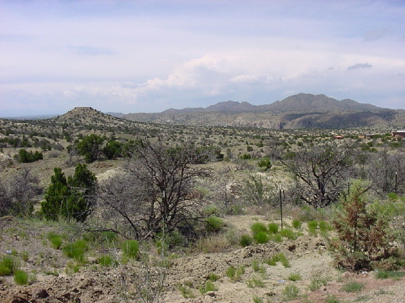
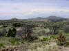
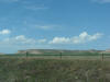
New
Mexico landscape. |
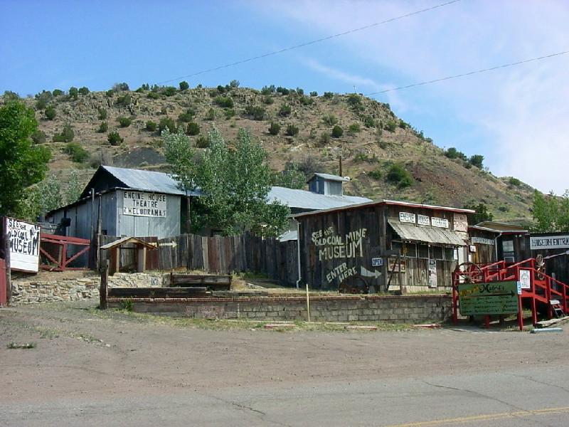
Mine
shaft museum in Madrid, NM |
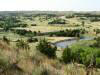
Panorama in the Sand Hills of Cherry County, NE |
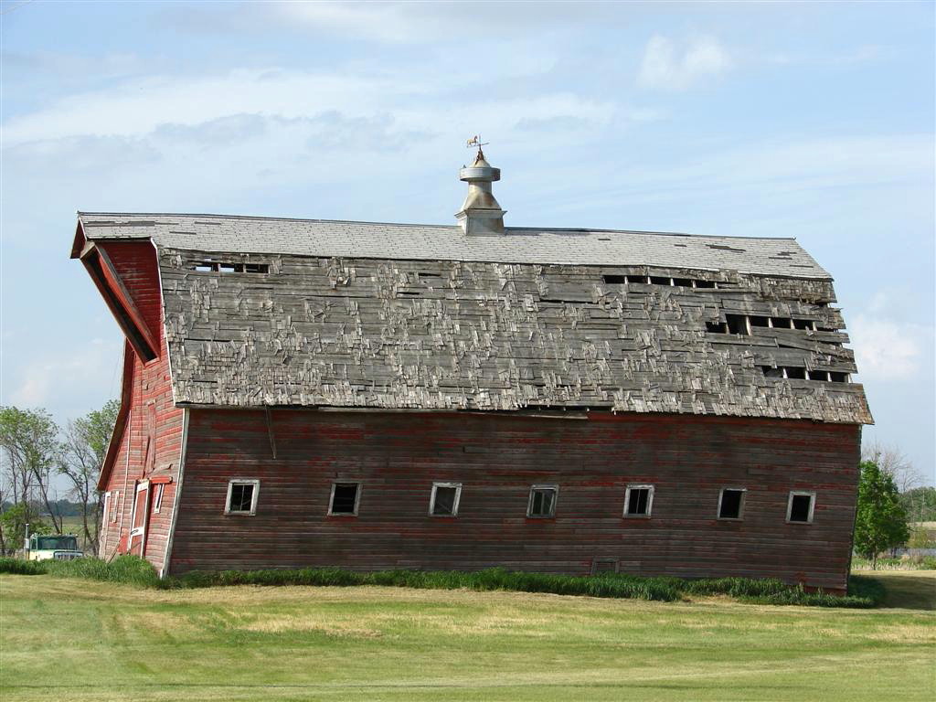
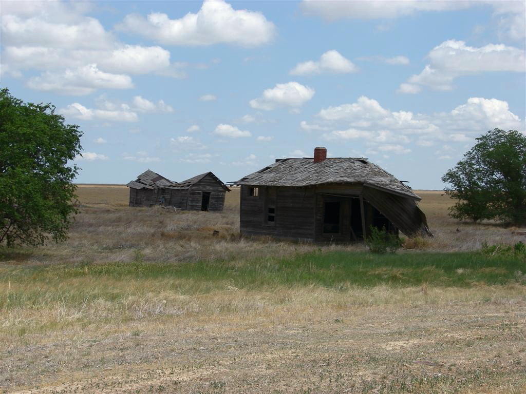
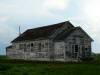
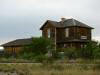
Old
farm house in Devil's Lake, ND |
|
 |
 |
 |
 |
|
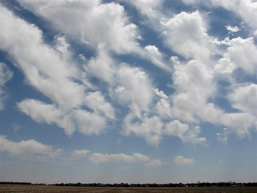
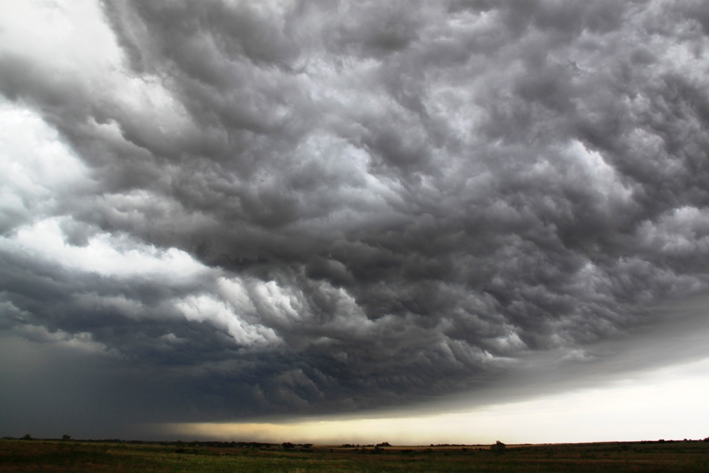
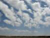
Accas
clouds over Goodland, KS. |
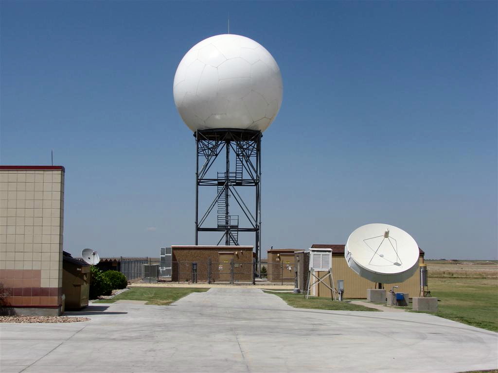
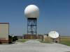
The
Doppler radar at NWS Goodland, KS. |
Dr.
Tim Samaras explains the deployment of his tornado probes to our group. |
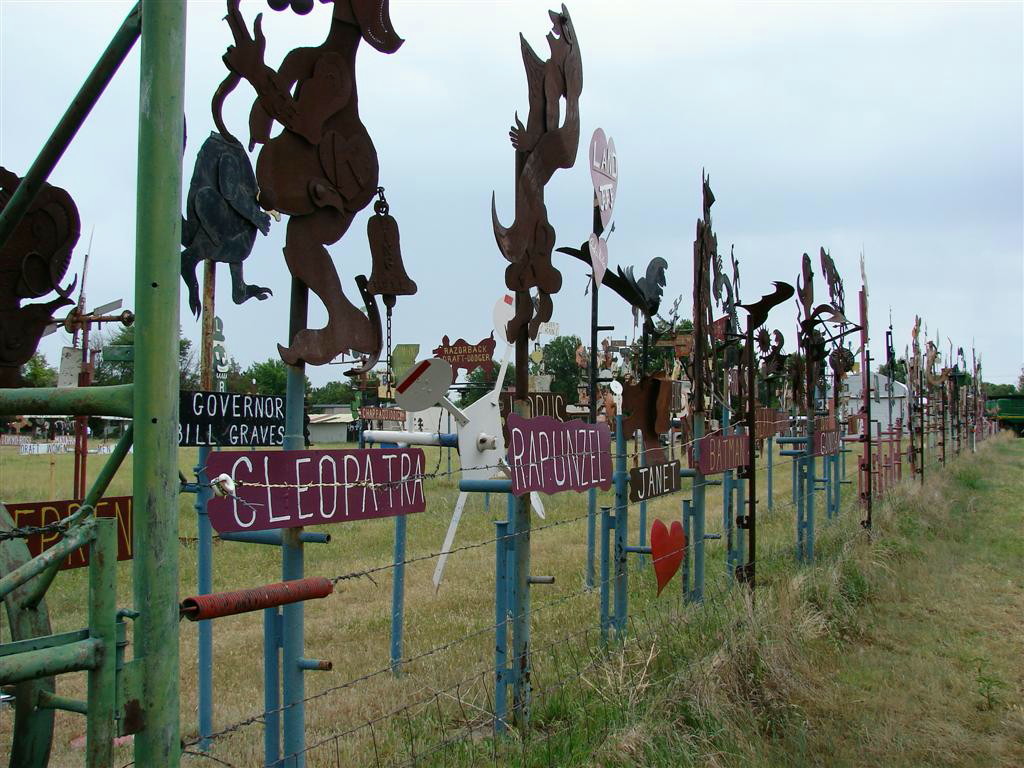
Mullinville, KS political satire in the form of metal windmills. |
 |
 |
 |
 |
|
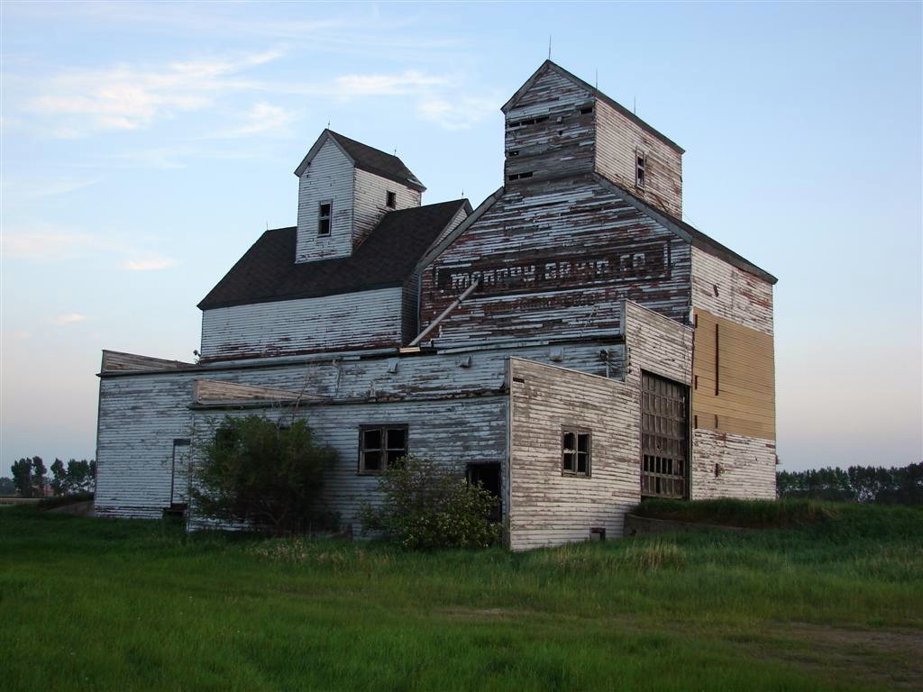
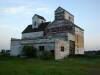
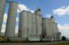
Grain
elevator near Fargo, ND |
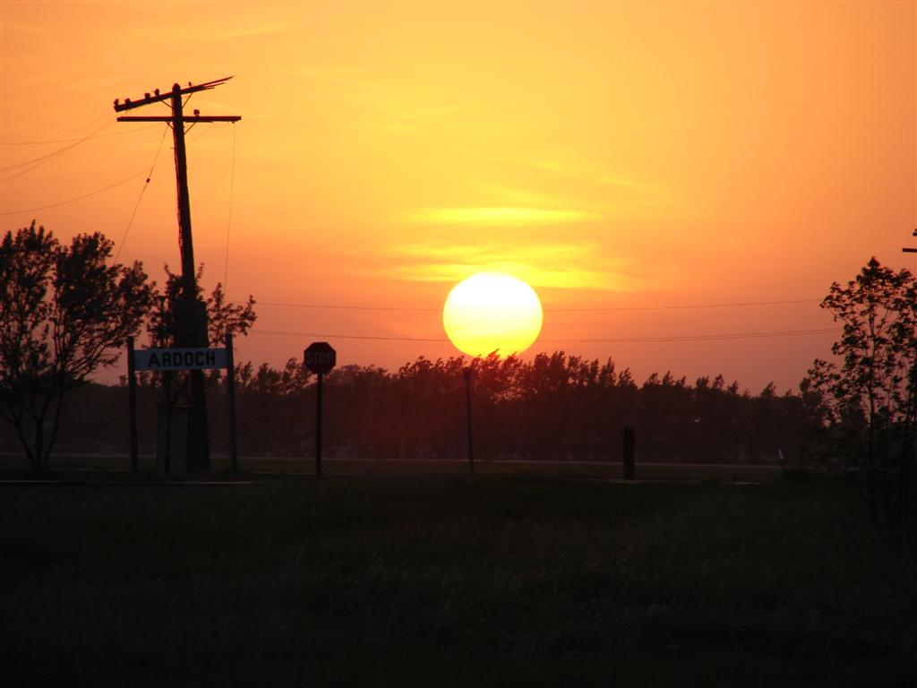
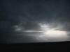
Plains
sunset |
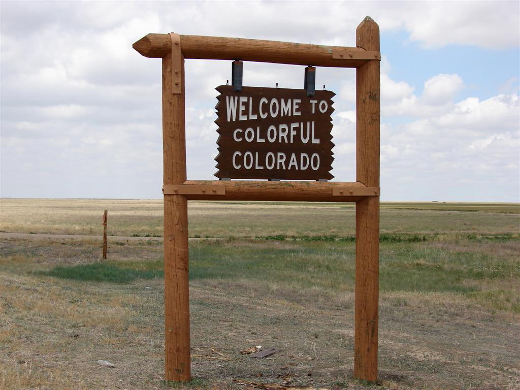
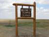
Entering Colorado from Kansas. |
This
is what "Big Sky" is all about! |
 |
 |
 |
 |
|
The
Wizard of Oz Museum in Liberal, KS |
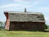
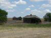
Old
buildings out on the plains of Western Kansas. |
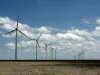
The
Colorado Green Wind Energy Project south of Lamar, CO |
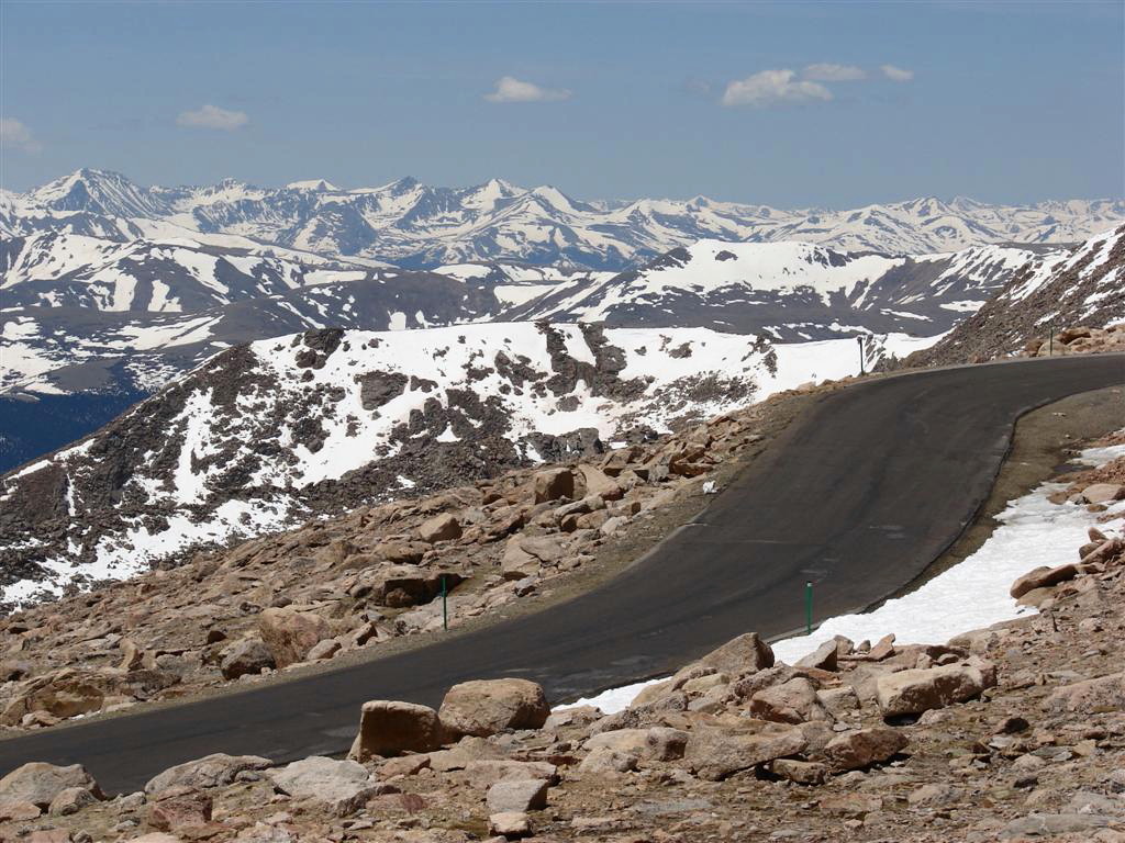
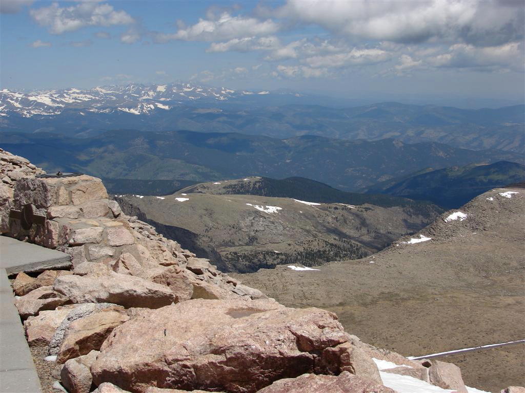
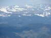
The
next 4 shots are from the top of Mt. Evans in the Rockies. |
 |
 |
 |
 |
|
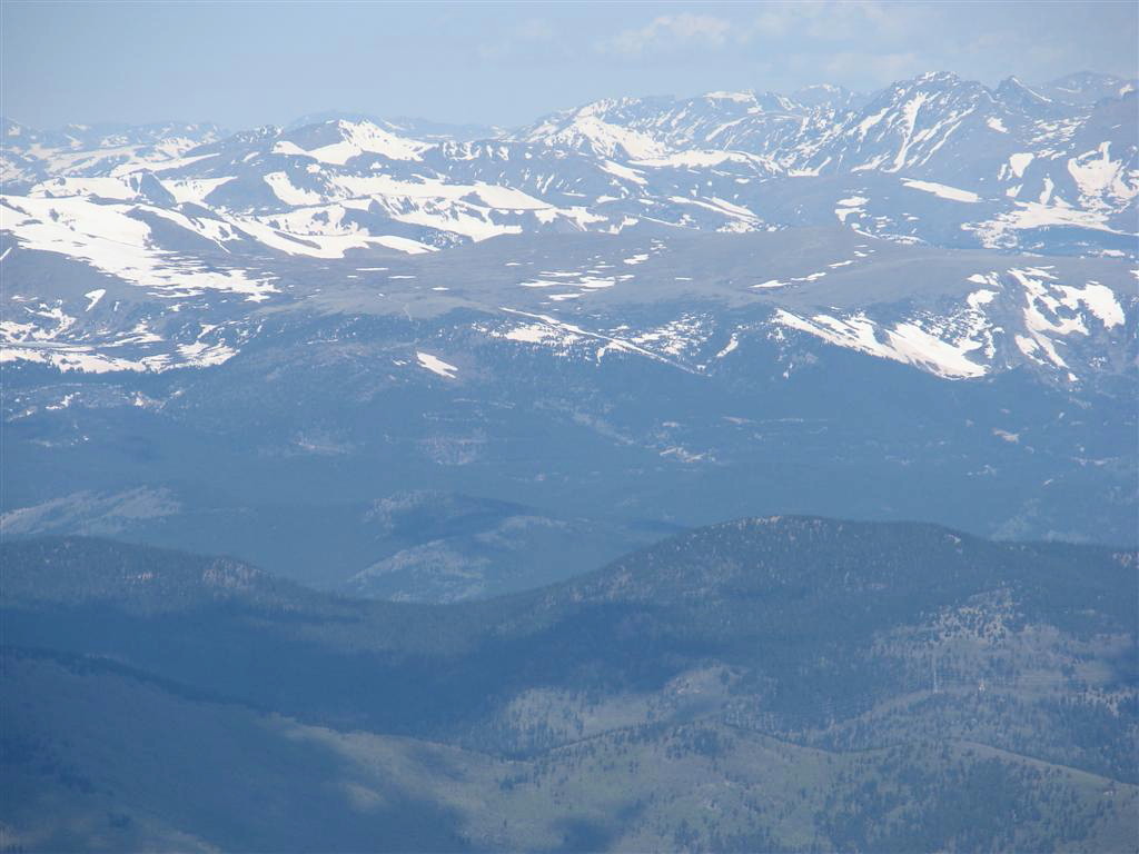
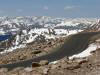
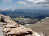
Looking east towards the Denver foothills |
Looking West |
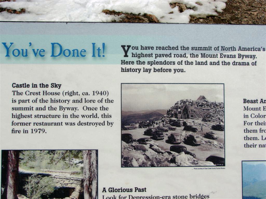
Mt.
Evans is the highest elevation paved road in the United States. |
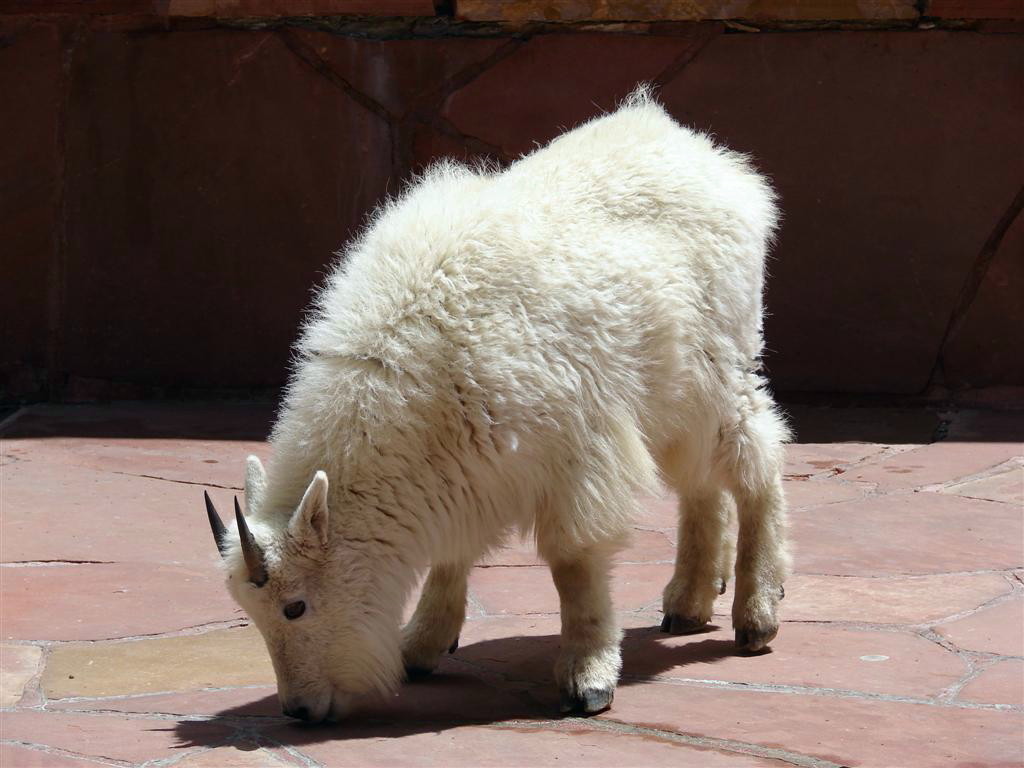
One of
the locals at the top. |
 |
 |
 |
 |
|
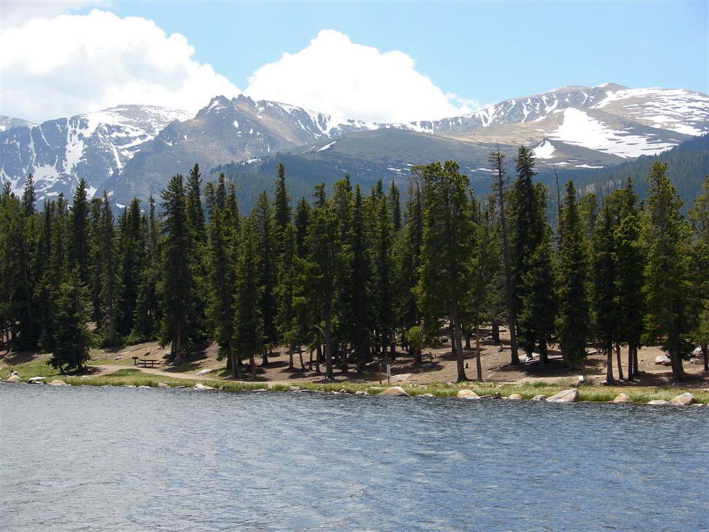
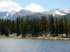
Echo
Lake at the base of Mt. Evans |
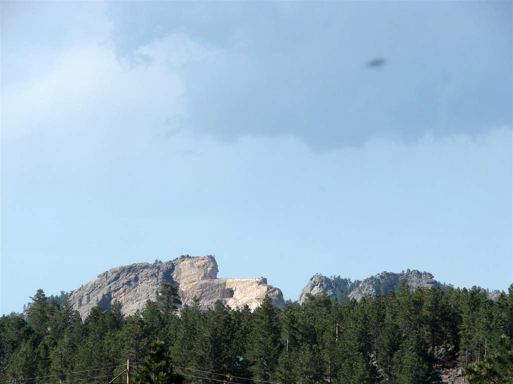
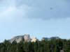
The
Crazy Horse Monument in the Black Hills of South Dakota |
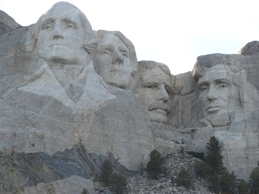
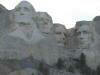
Mt.
Rushmore |
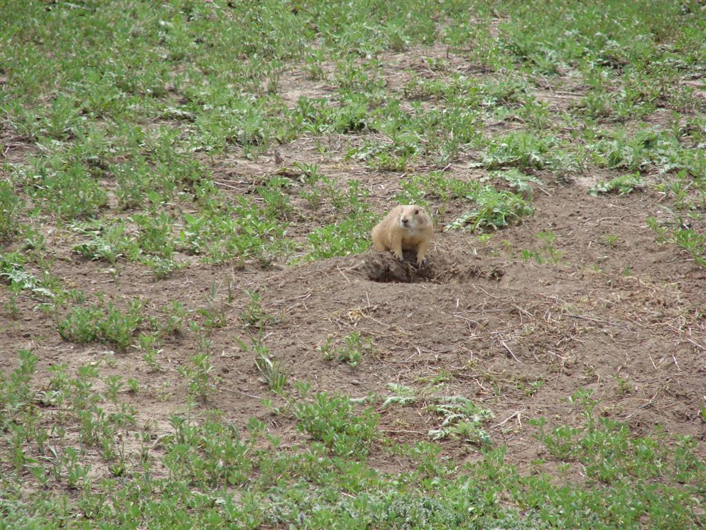
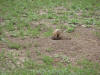
Prairie dog |
 |
 |
 |
 |
|
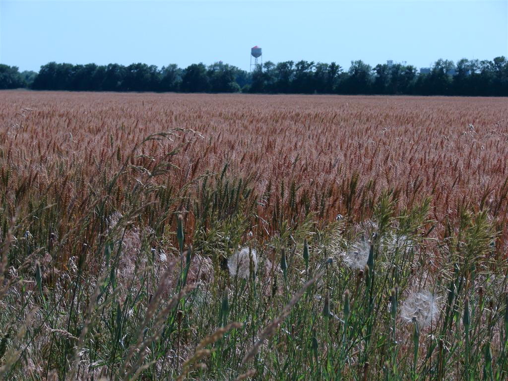
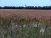
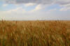
Kansas
wheat field and water tower |
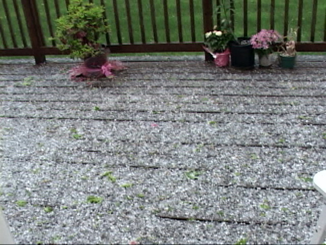
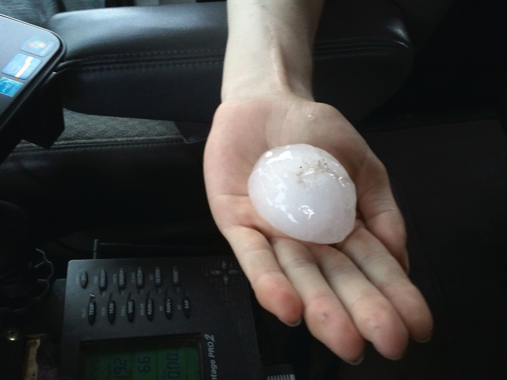
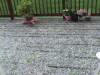
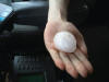
Hail
on my deck in Southborough, MA |
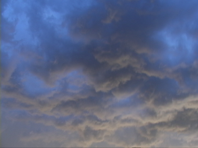
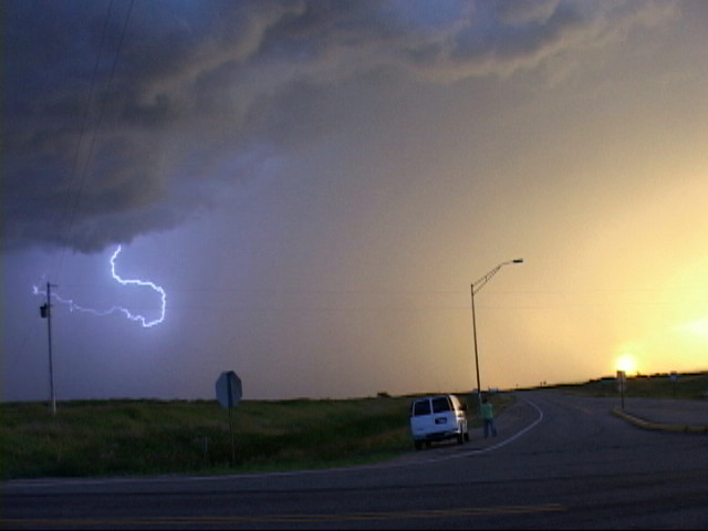
Awesome coloration in the roiling above us as
the Sun starts to set near Burke, SD. |
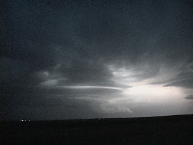
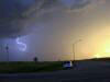
Eerie
sunset and lightning, also near Burke, SD |
 |
 |
 |
 |
|
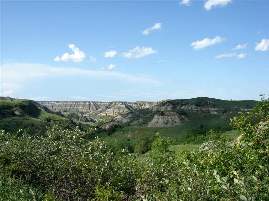
Teddy Roosevelt National Park in extreme Western North Dakota.Teddy Roosevelt National Park in extreme Western North Dakota. |
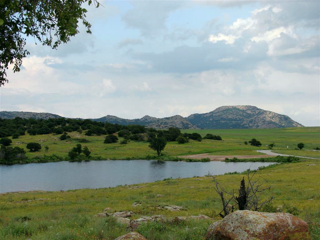
The
Wichita Mountains in Western Oklahoma. |
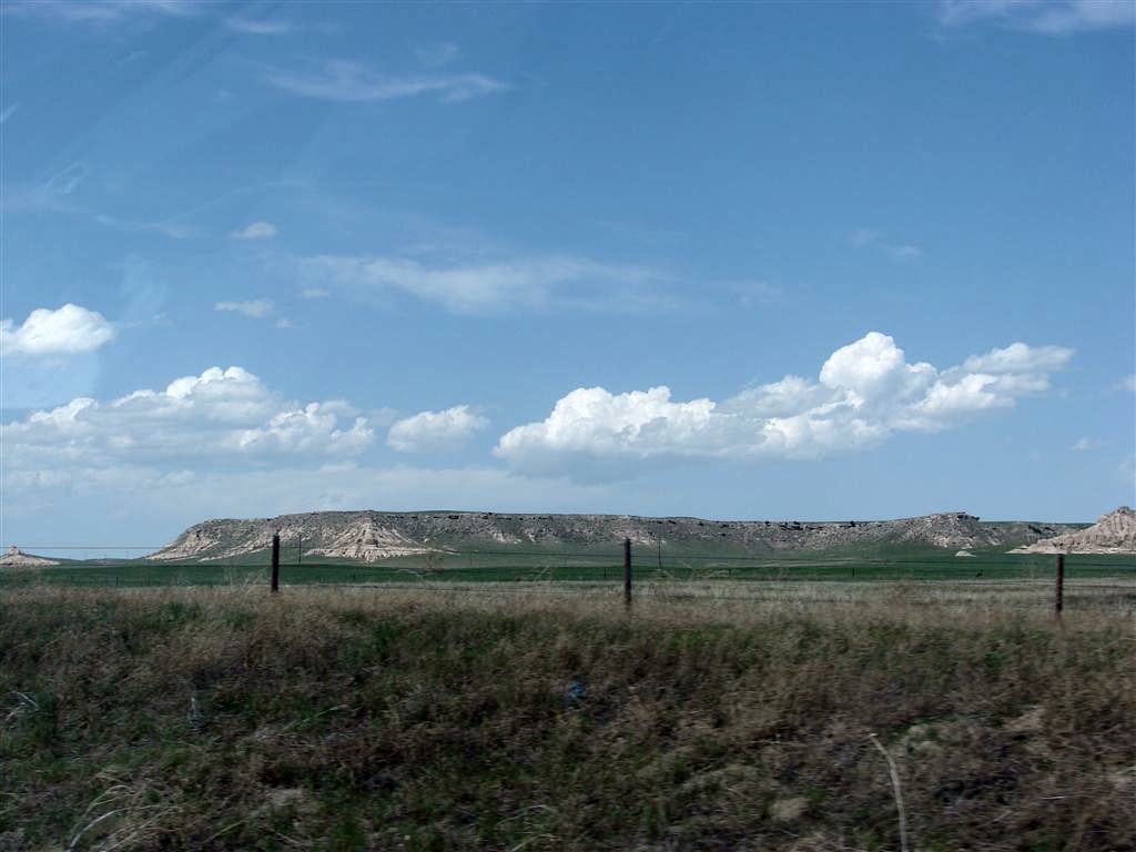
Mesa on the Nebraska Panhandle |
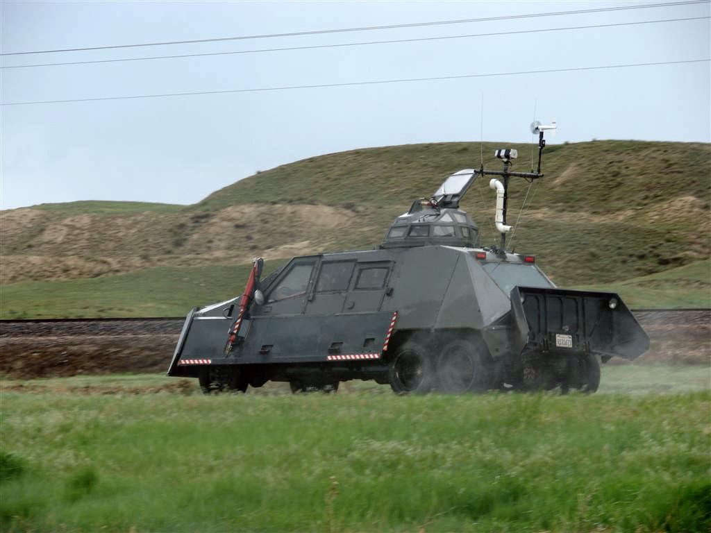
TIV II, aka "The Evil TIV" |
 |
 |
 |
 |
|
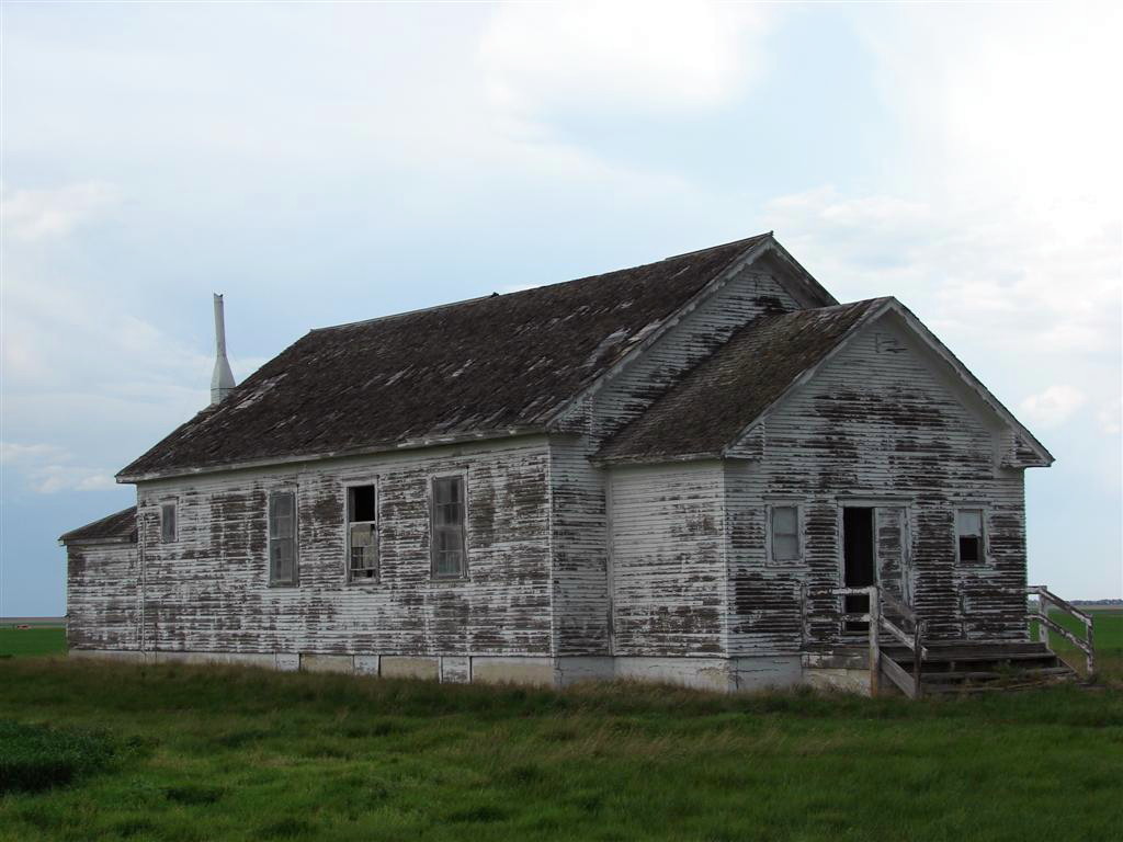
Old abandoned church west of
Alliance, NE |
Driving along the Rockies, near Trinidad, CO |
The Sierra Grande volcano in northeastern New
Mexico |
The locals in New Mexico are always happy to see
you.. |
 |
 |
 |
 |
|
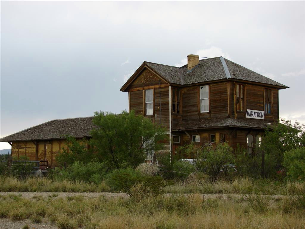
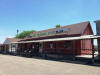
The old railroad station in Marathon, TX |
Large mesa down near Big Bend National Park in
Texas. |
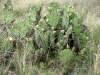
Deep south Texas cactus. |
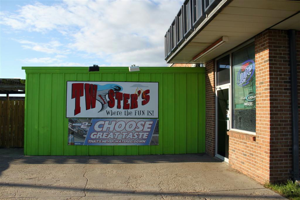
Twisters Bar and Grille in Colby, KS |
 |
 |
 |
 |
|
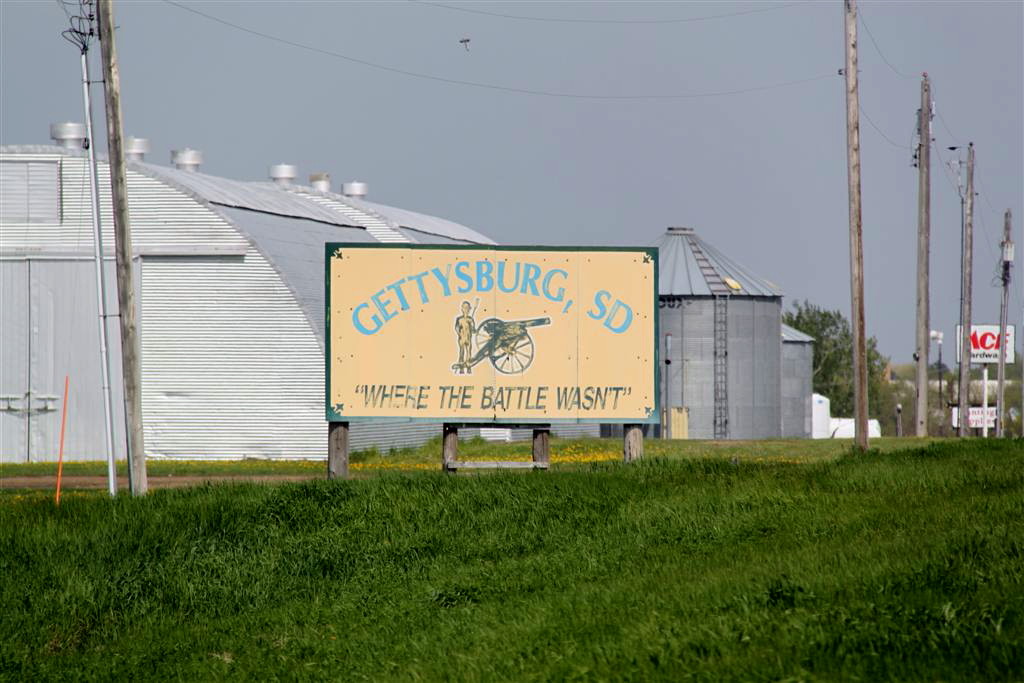
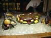
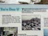
Interesting marketing tactic in Gettysburg, SD |
The prize for winning the
SLT word contest! |
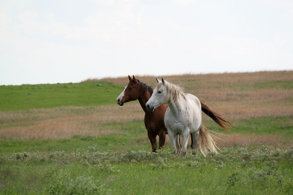
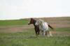
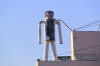
A couple of curious locals
stop by to say hello! |
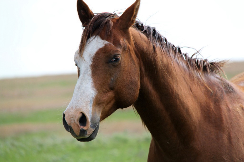
What are YOU looking at? |
 |
 |
 |
 |
|
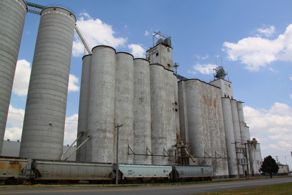
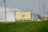
A common plains sight: Grain
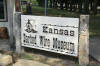
elevator in Watonga, OK |
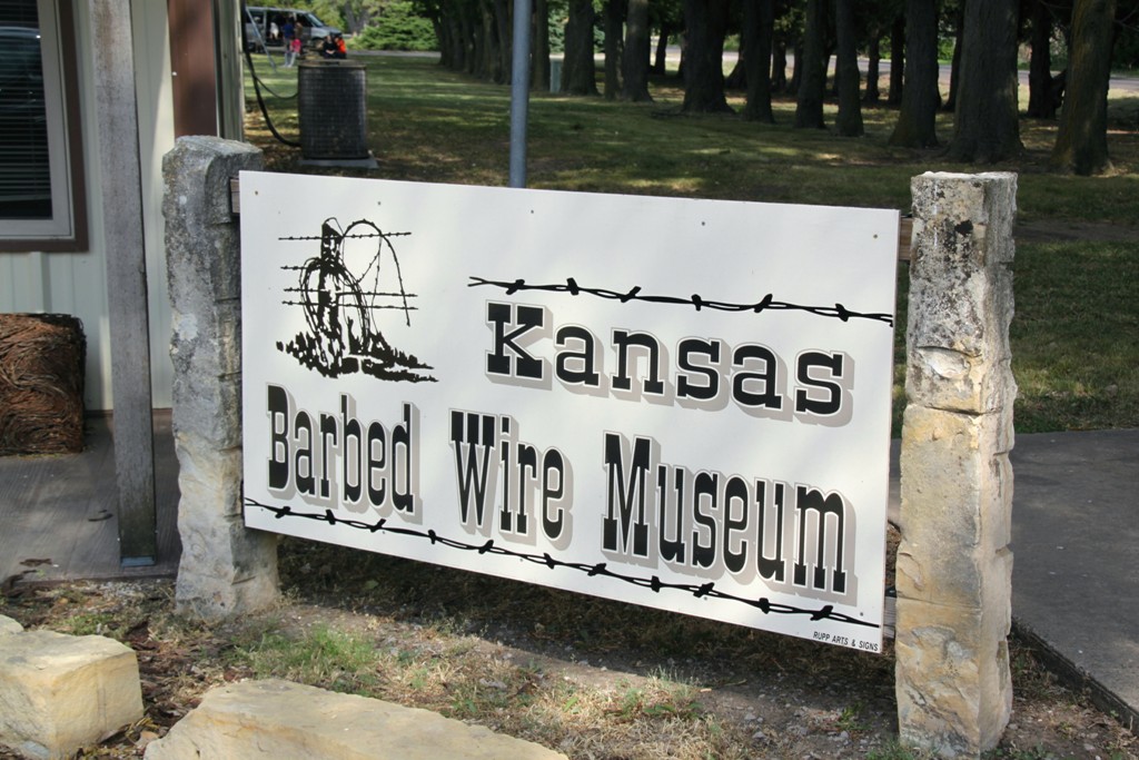
That's right, a BARBED WIRE
museum! |
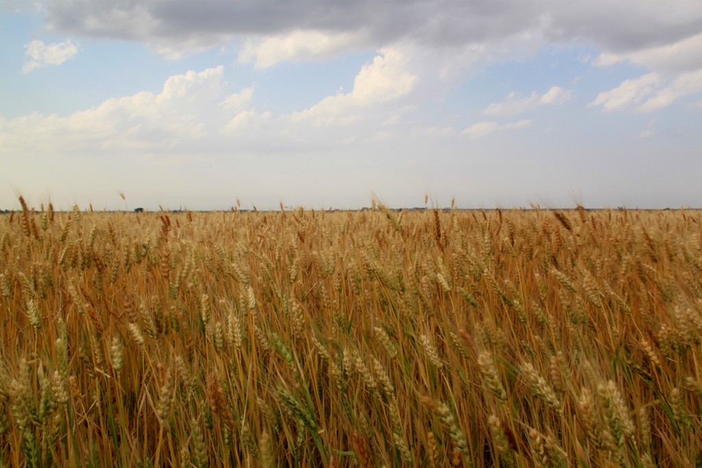
Amber waves of grain! |
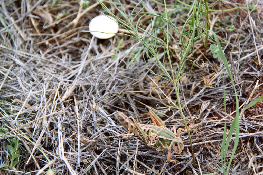
Locust on the Texas
scrublands |
 |
 |
 |
 |
|
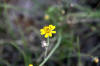
Texas Flower |
Adair, Iowa is a friendly
place! |
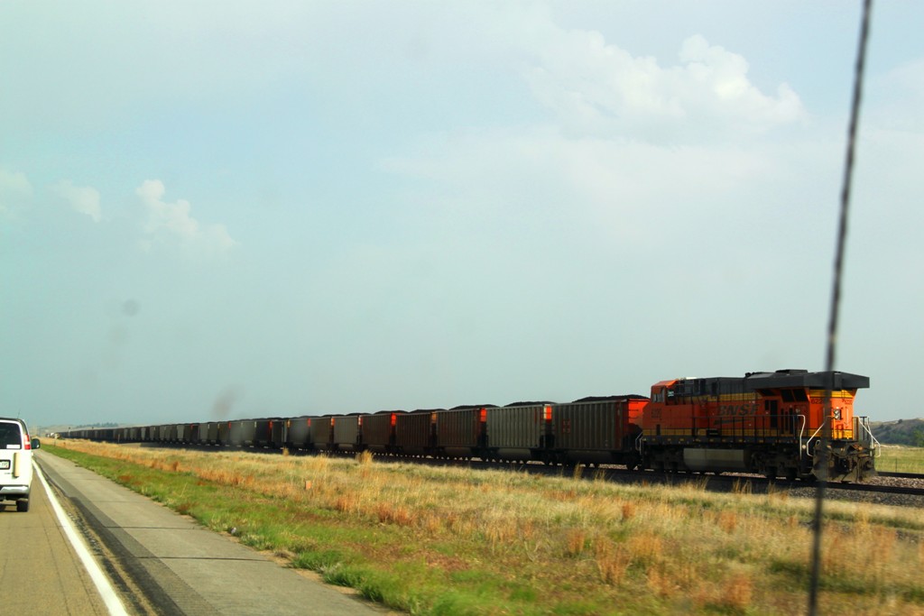
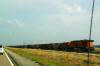
Coal train heading for Omaha
in central Nebraska |
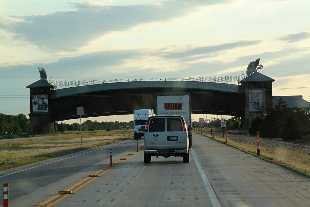
The Great Platte River Road
Archway in Kearney, NE. |
 |
 |
 |
 |
|
One of the best parts of
chasing is that you can get Shiner Bock most places on the Southern
Plains! |
Taking a ride on Sinclair! |
The aptly named Omaha
Stormchasers, the KC Royals AAA team. |
Awesome tail cloud right
overhead near Waterloo, NE. |
|
 |
 |
 |
 |
|
Don't want to get hit in the
head with this! |
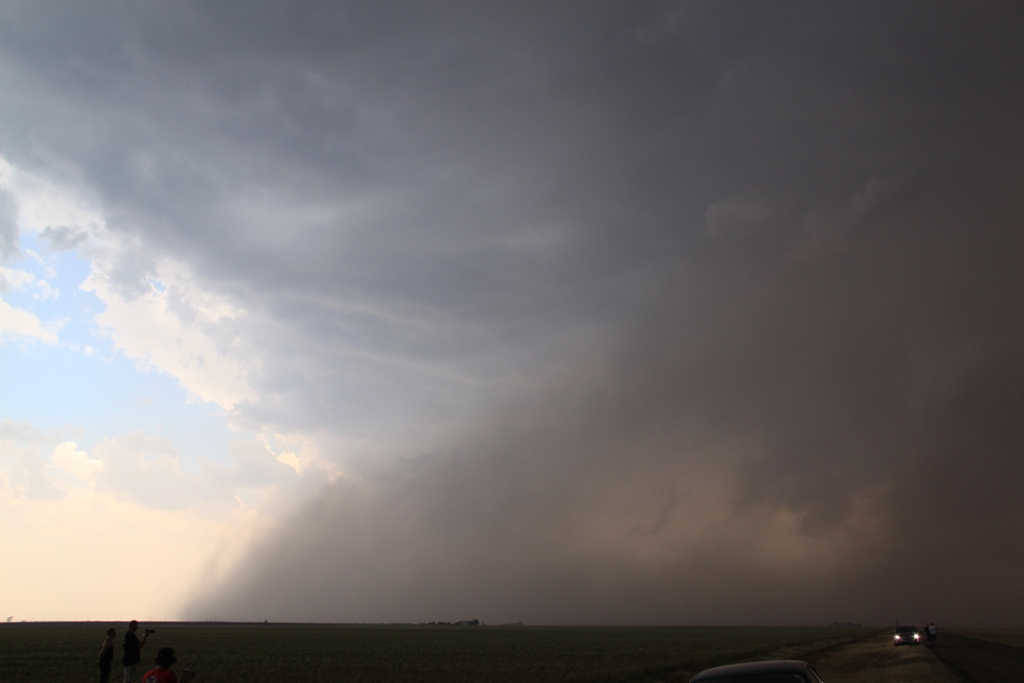
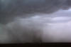
Haboob, Texas-Style! South
of Floydada, TX. |
Mammatus on the back-shear
of an anvil cloud, near Grant, NE. |
Under the shelf cloud as a
squall line passes over south of Erick, OK. Great roiling motion! |
 |
 |
 |
 |
|
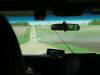
Probable land spout tornado
near Dumas, TX |
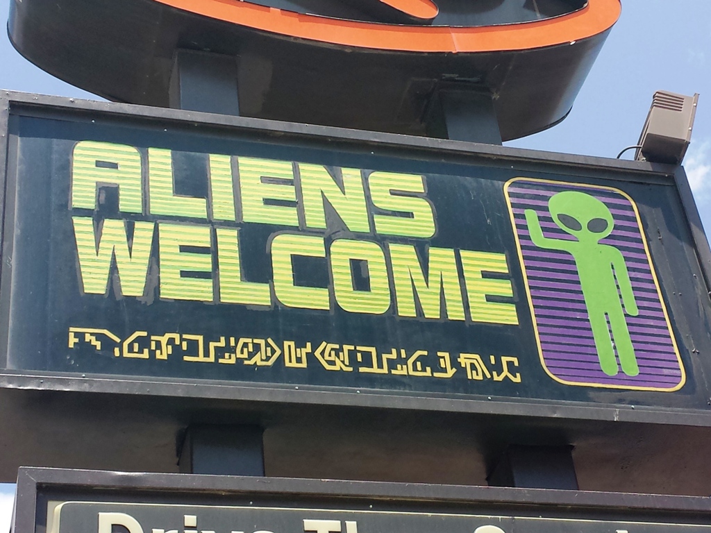
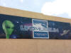
Good to know that the Wendy's is willing to serve aliens! |
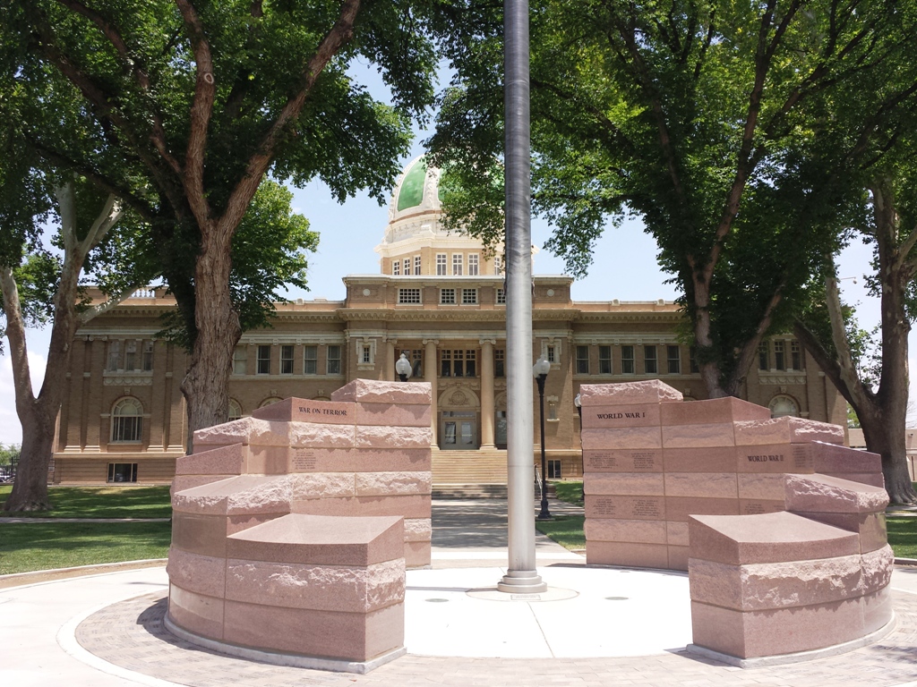
Veterans Memorial in downtown Roswell, NM. |
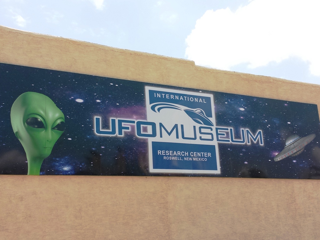
The National UFO Museum in
Roswell, NM. |
 |
 |
 |
 |
|
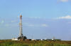
Drilling operations in the
west Texas oil fields. |
Closer look at a drill rig.
West Texas and southeast New Mexico are completely dominated by oil and
gas operations. |
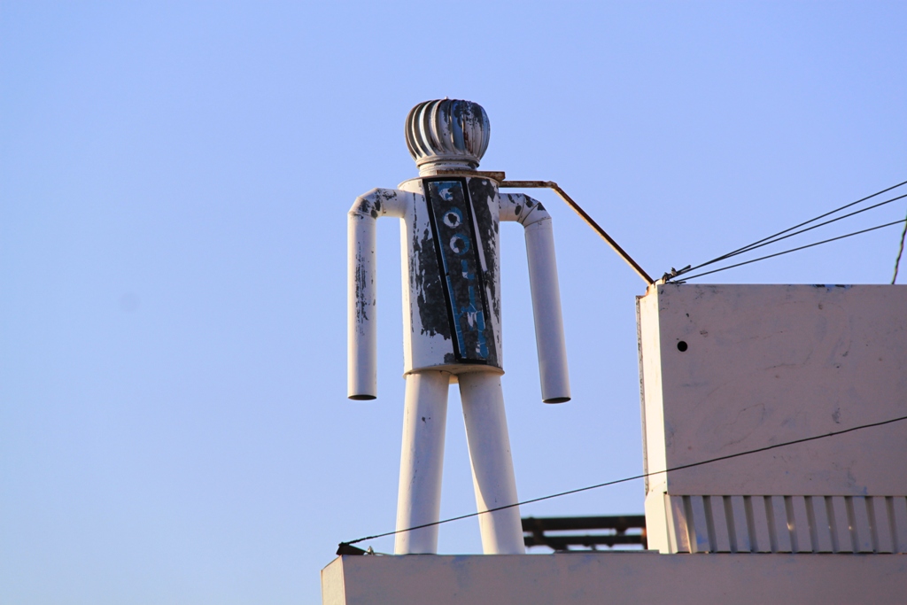
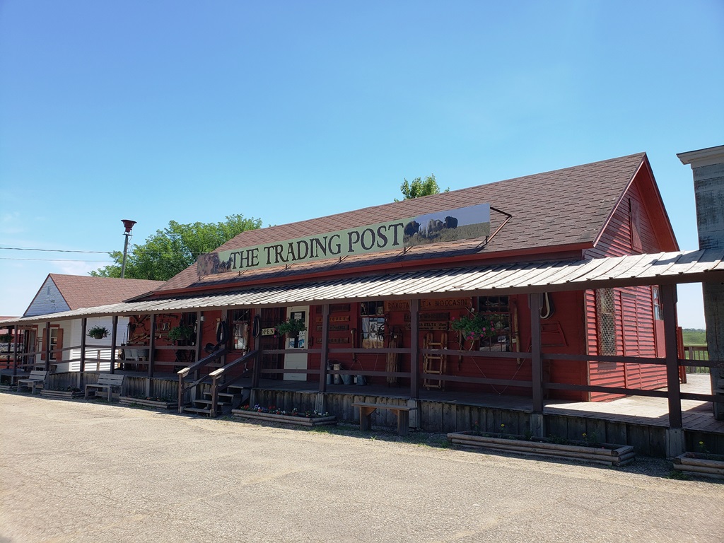
Interesting piece of Americana as we entered
Carlsbad, NM. |
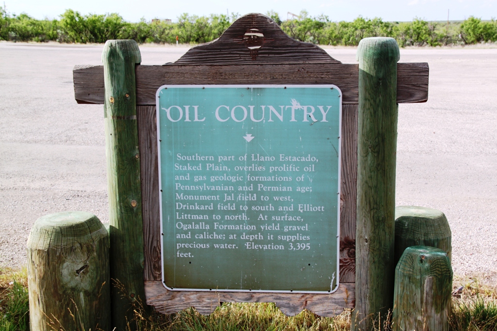
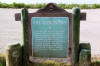
Historic
marker near Eunice, NM. |
|
 |
 |
 |
 |
|
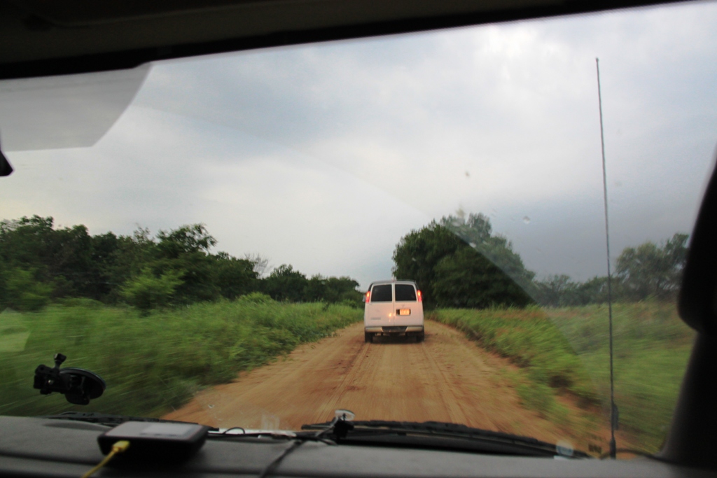
Driving on "Bob's Road" near
Nocona, TX |
Deep south Texas desert
flower. |
Getting run over by a squall
line in Bowie, TX. |
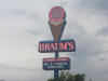
Braum's, my favorite burger
and shake place in the Plains. Gotta make the obligatory Braum's stop! |
 |
 |
 |
 |
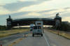
| The leaning water tower along I-40 in Groom, TX |
The mother of all shelf clouds on the Texas Panhlandle north of Amarillo. |
Sierra Blanca on the road to El Paso in West Texas. |
Watching storms east of El Paso. Yup, that's Mexico in the distance. |
 |
 |
 |
 |
|
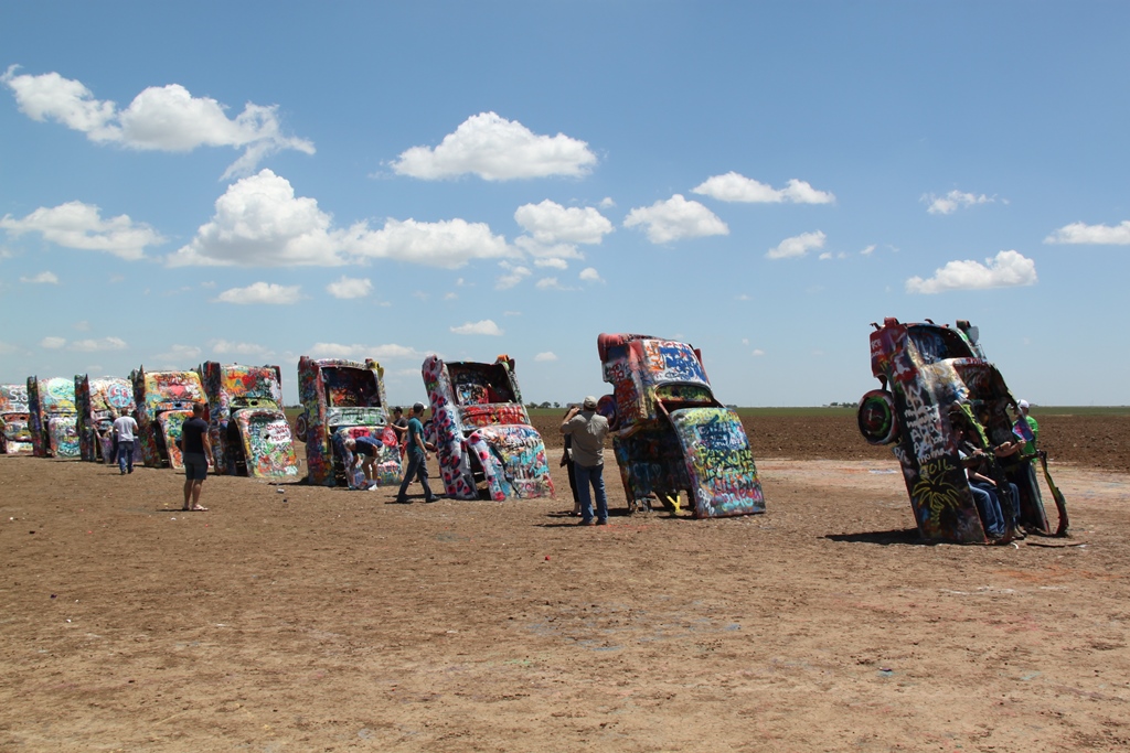
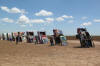
The Cadillac Ranch in Amarillo, TX on a down day in 2016. |
Wall mural in Post, Texas, in the southern Panhandle. |
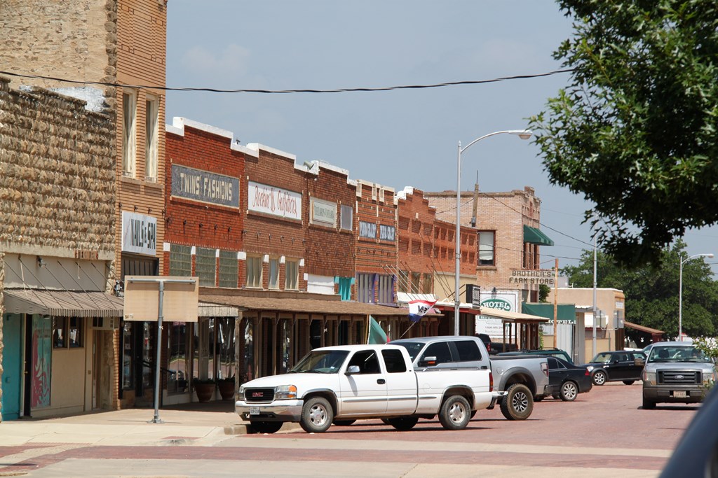
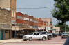
A classic "Main Street USA" Texas town. |
This would be good for those quick getaway
moments! |
 |
 |
 |
 |
|
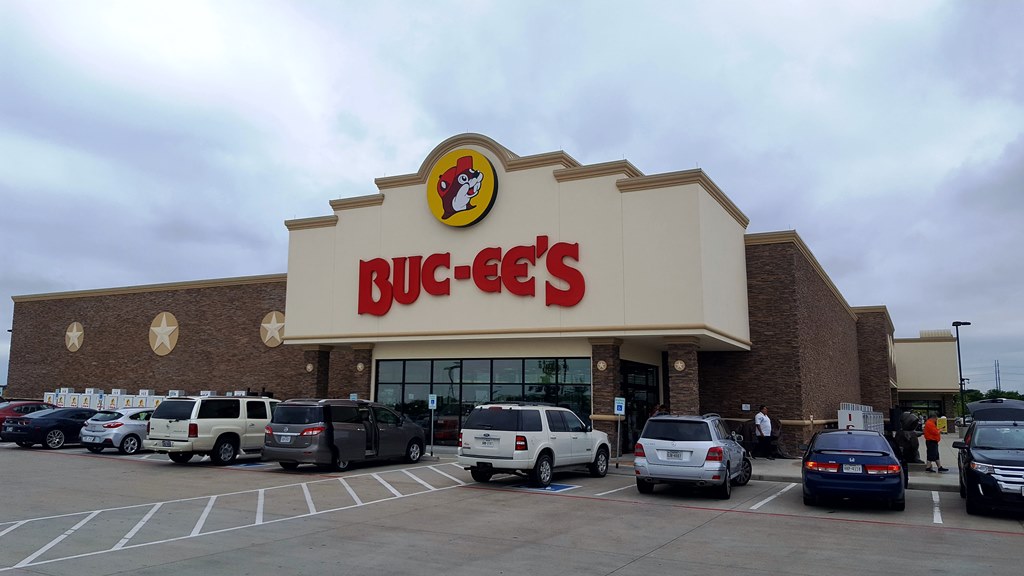
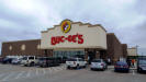
Buc-ee's near Temple, TX. Typical Texas tourist trap. |
Clever prairie monument near Jal, NM. |
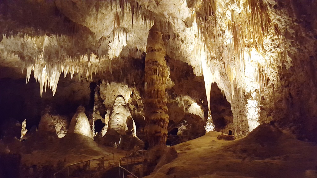
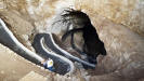
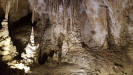
Descending into the caverns in Carlsbad, NM. |
Fantastic rock features in the caverns. |
 |
 |
 |
 |
|
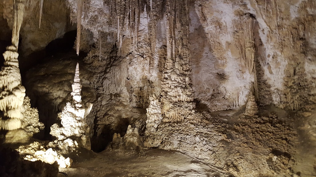
..and more of them. |
Old-west style buildings at the Buffalo National Museum in Jamestown,
ND. |
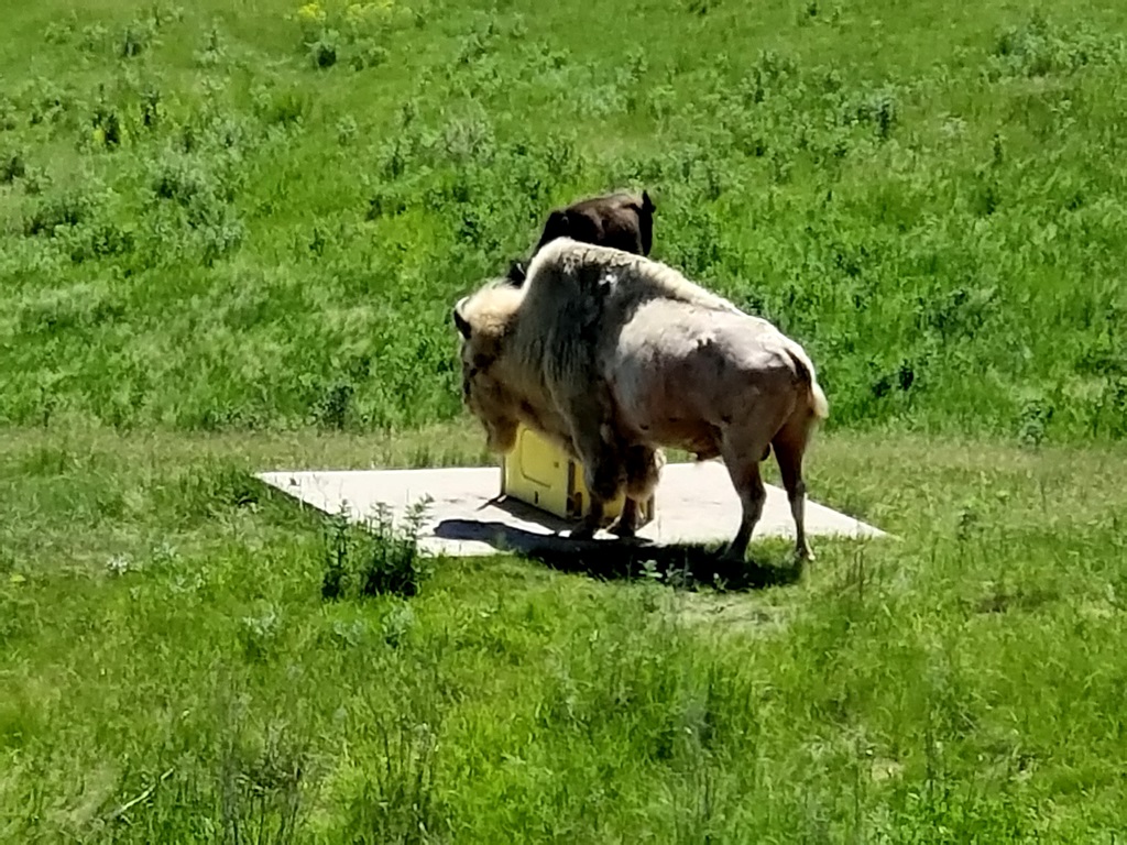
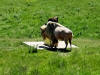
Albino buffalo at the Buffalo National Museum. |
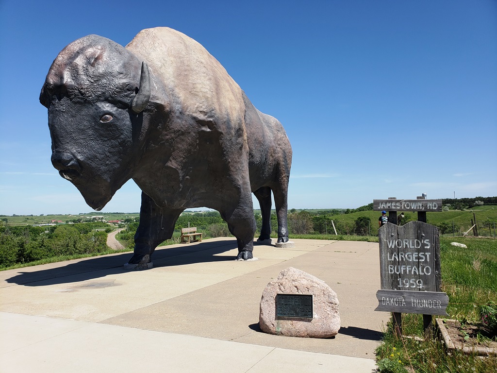
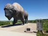
And the "World's Largest Buffalo" too.. |
 |
 |
 |
 |
|
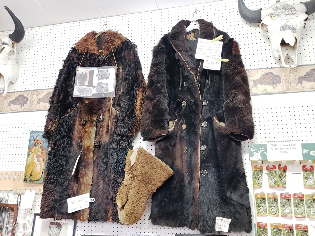
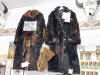
Wanna buy a bearskin coat? |
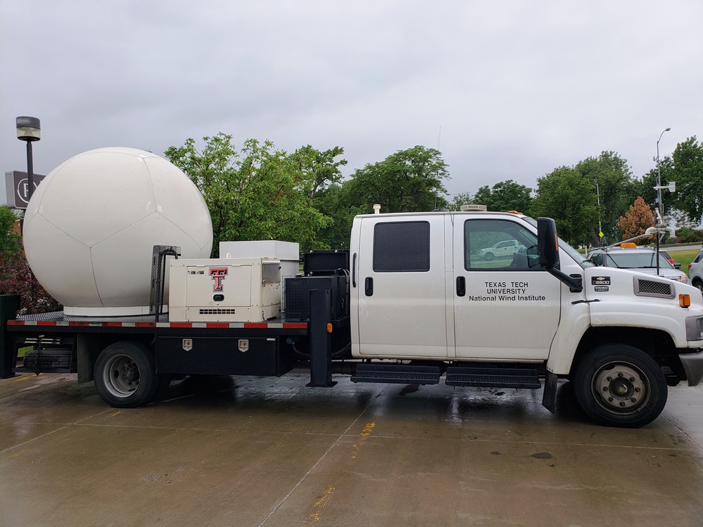
Texas Tech's research team out with us in South Dakota. |
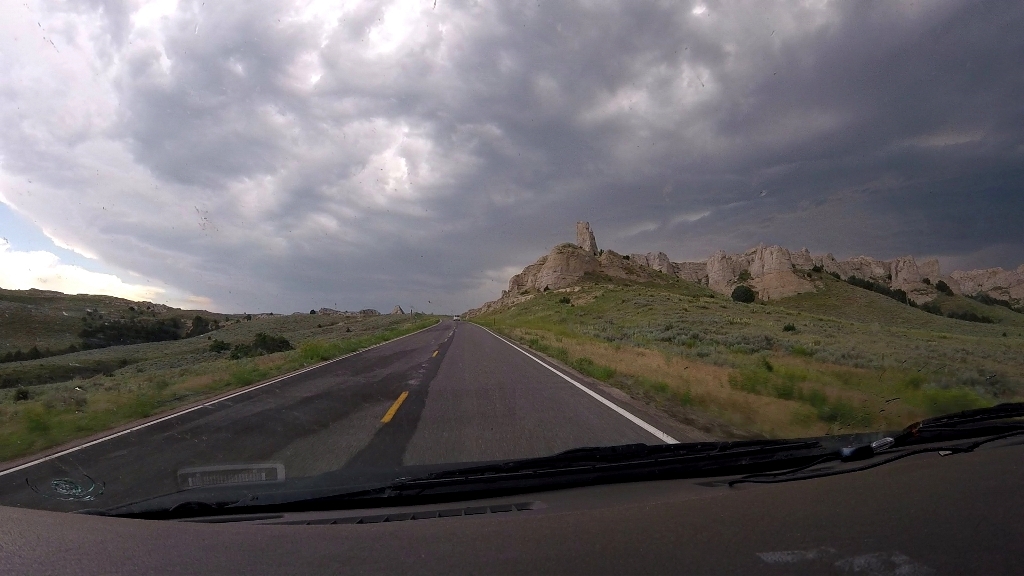
Climbing some cool terrain in eastern Wyoming. |
View to the horizon east of Chugwater, WY. |
 |
 |
 |
 |
|
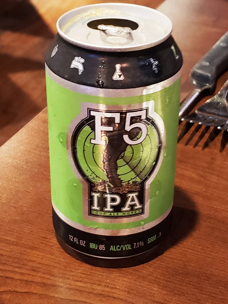
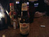
An appropriately named beer for the plains! |
Awesome shelf cloud near Madrid, NE |
Precipitation core in southwest, NE. Don't want to go in there! |
Some neat Americana east of Buffalo, OK |
 |
 |
|
|
|
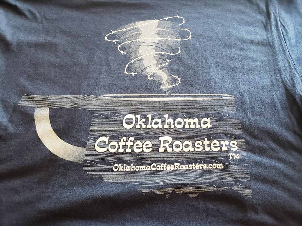
Two of my favorite things: Coffee and tornadoes! |
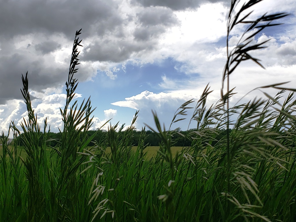
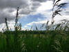
Artsy... Kansas wheat and storms. |
|
|