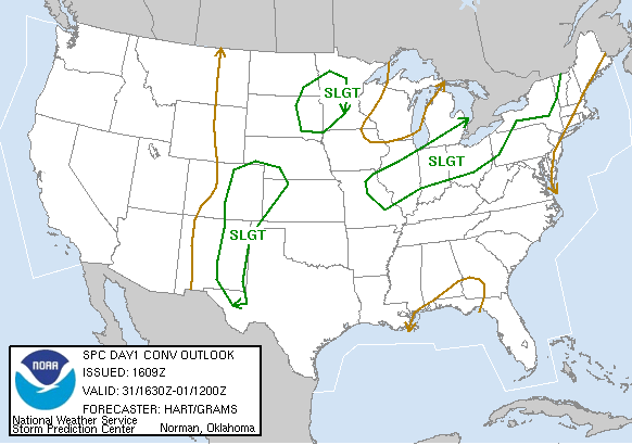
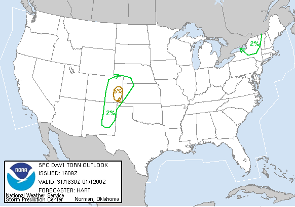
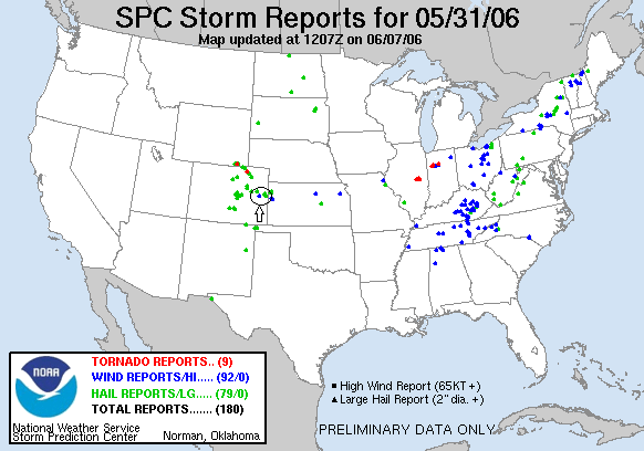
SPC Convective Outlook SPC Tornado Prob. NOAA Storm Report
May 31st, 2006 Limon, CO Hail Storm
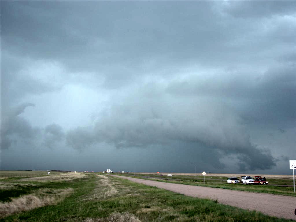
We started the day in Liberal, KS heading for Limon, CO, making stops at the Wizard of Oz museum, the Two Buttes Wind Farm and other photo opportunities along the way. We had dilly-dallied a bit too much though and by the time we got up to Limon we had a full blown supercell on our hands.
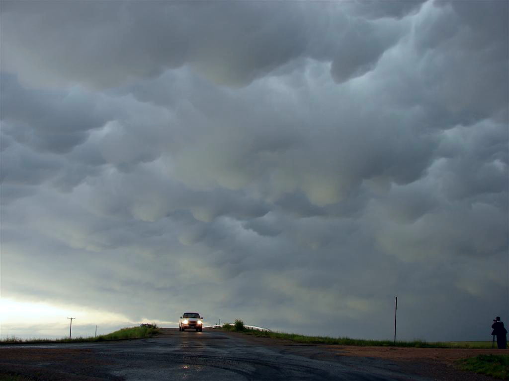
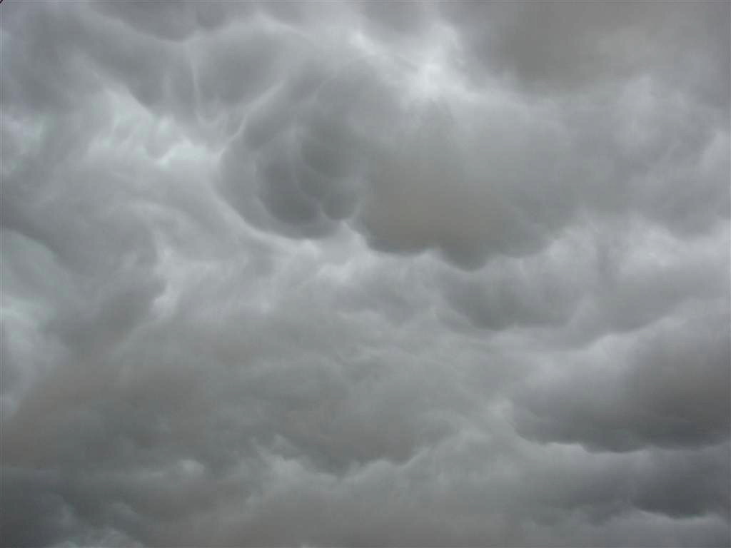
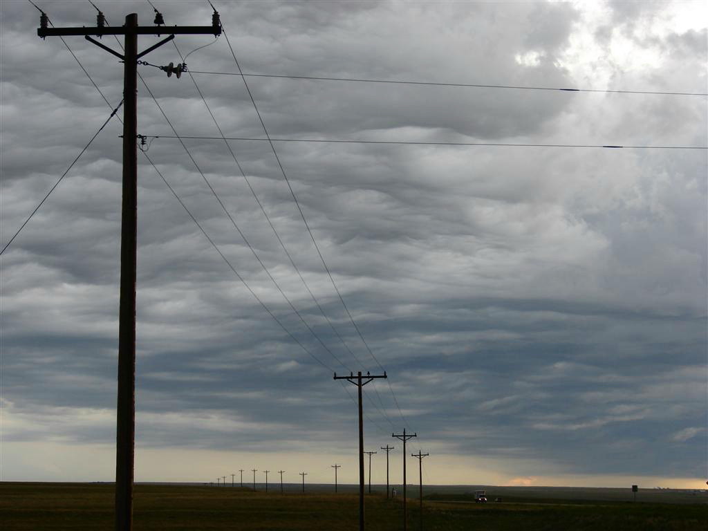
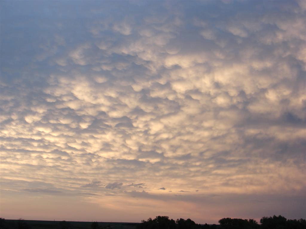
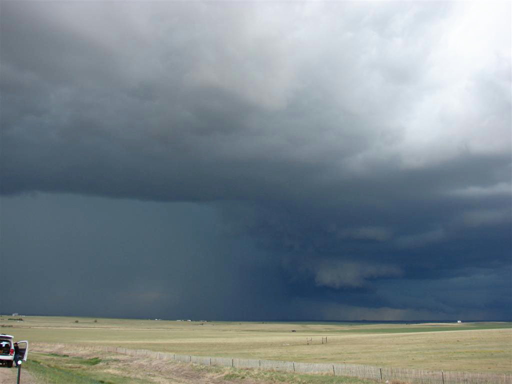
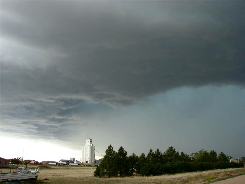
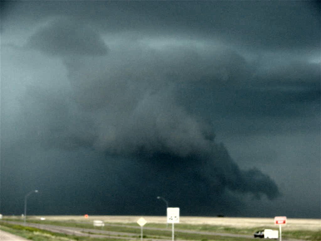
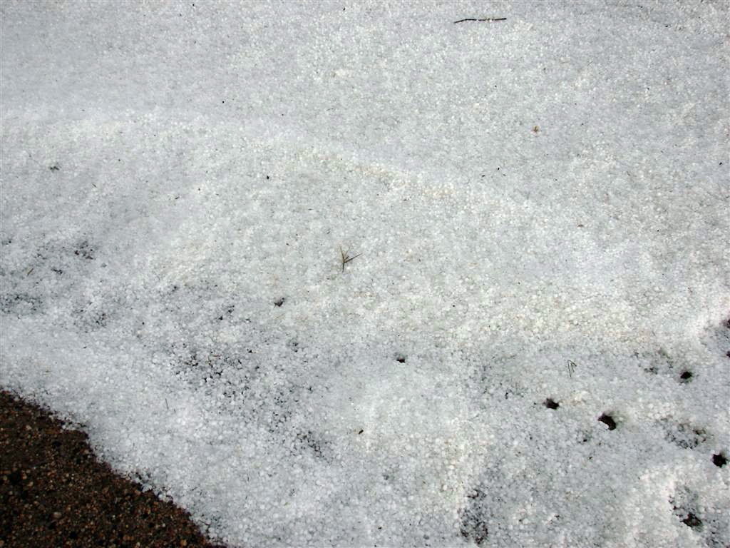
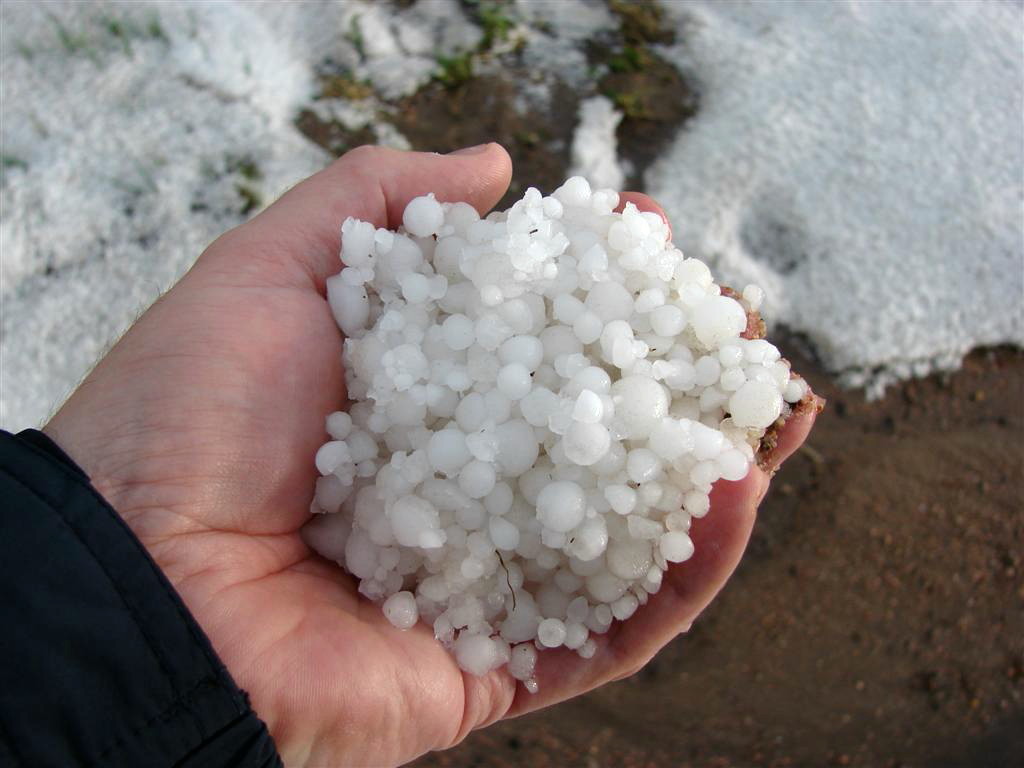
The storm had a well defined meso and produced a couple of solid wall clouds and a big tail cloud, but didn't show all that much rotation under the wall despite solid rotation in the mesocyclone as a whole. We made a run along I-70, staying ahead of the huge hail core and getting off at just about every exit. Eventually the storm went totally outflow dominant and we decided to get "cored" again so we pulled into a gas station, sheltered the vans, and waited. Unfortunately the cell split and the two cores passed us on either side so we headed west and got nailed on the highway with very strong win and a pile of marble sized hail that quickly stacked up a couple of inches deep. We got off and into position again, but this time the core fizzled out to our West. We then went back and collected hail, which was still all over the place 30 minutes after the storm. The temperature had decreased over 20 degrees! We then hung around and watched the excellent mammatus display on the back of the storm then drove into Denver for the evening. We ran into Roger's group along the way, but they were still hop-scotching west when we went to sample the core.
SPC
Convective Outlook SPC
Tornado Prob.
NOAA Storm Report
 |
 |
 |
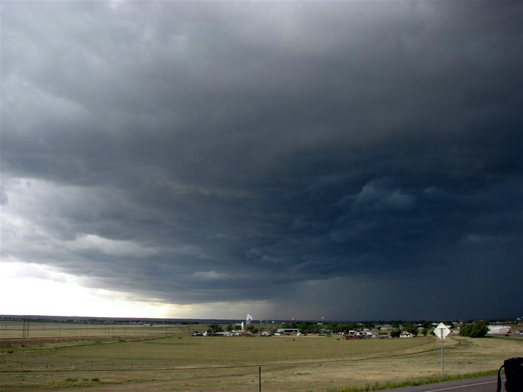 |
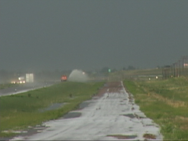
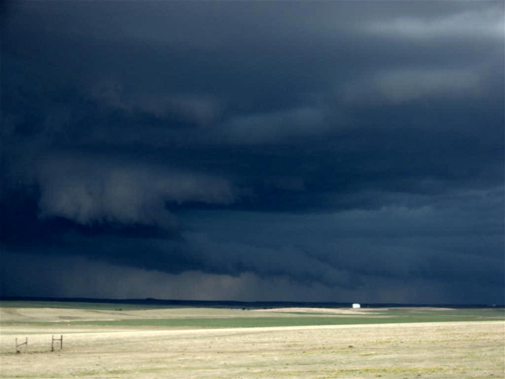
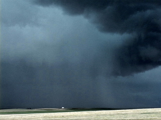
| Monster precipitation core with tail cloud as we make it to I-70. | Long trailing tail cloud ahead of the core. | The hail core is getting a little too close, time to move on! | Now a few exits east on the highway, the core approaches with great roiling features on the shear line in front.. |
 |
 |
 |
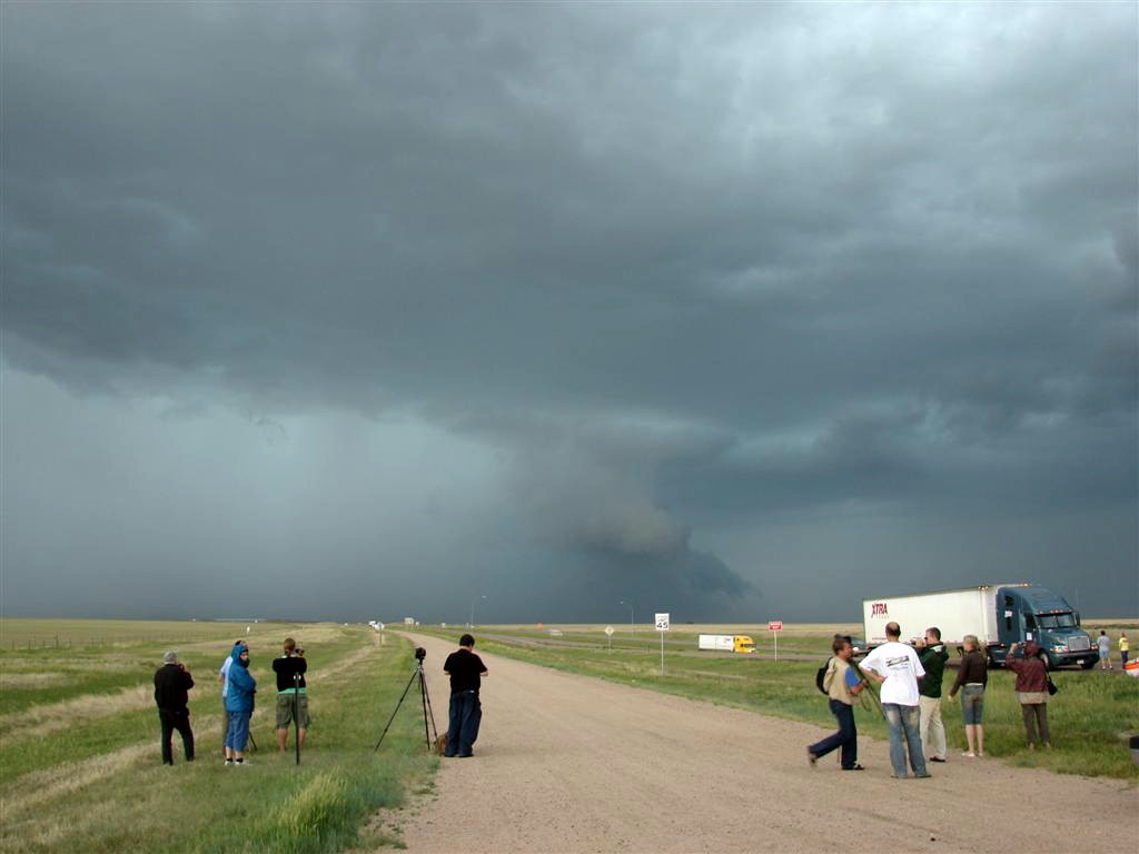 |
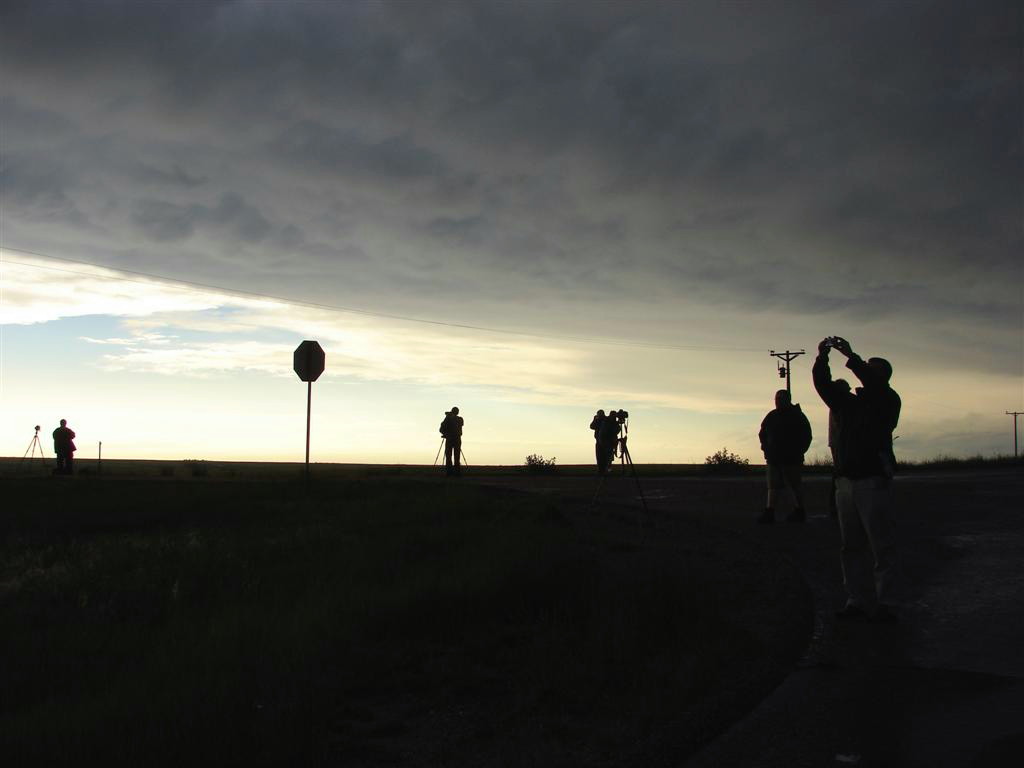
| A wide, but disorganized wall cloud forms to our west. | The storm was rapidly expanding south of the highway so we bailed again and headed east. | Finally a well established wall cloud forms. | Wide view of the wall with the tour group in the foreground. |
 |
 |
 |
 |
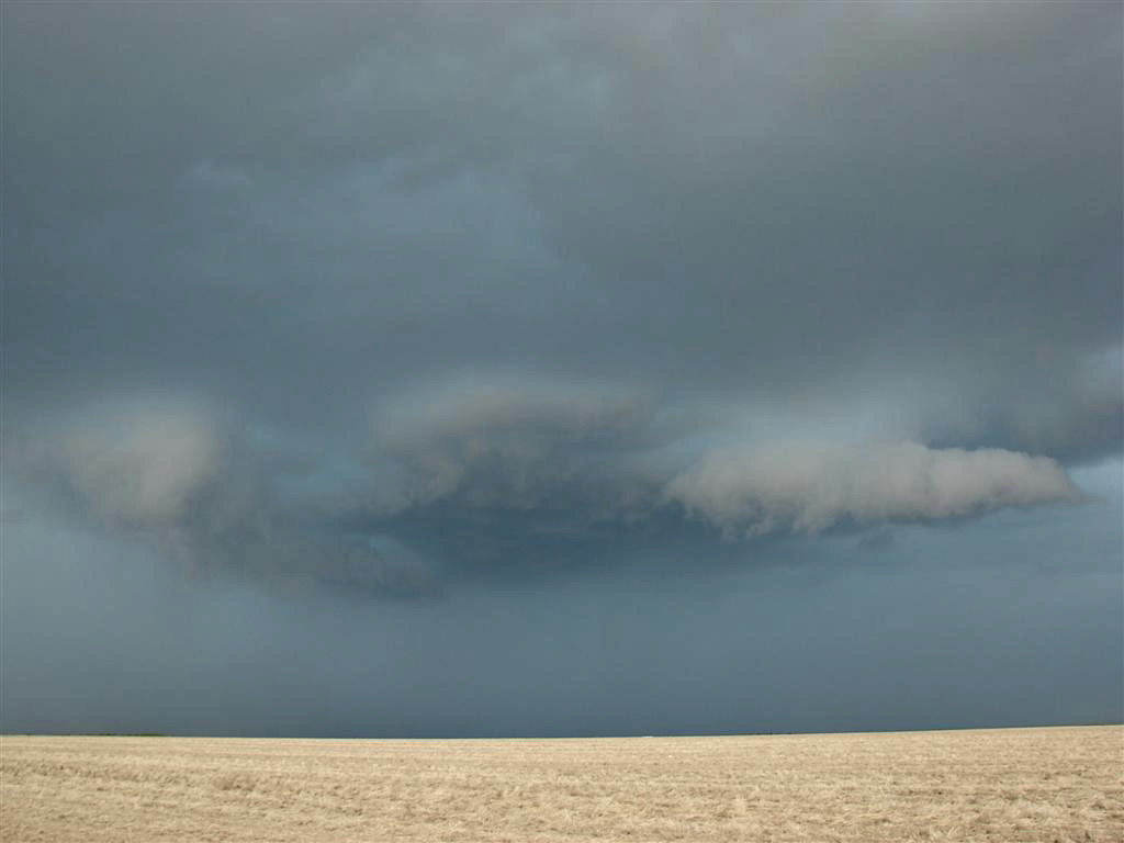
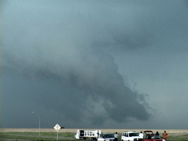
| These "nose-down" tail clouds always mean "outflow dominant" to me. | This shelf cloud tells us the tornado chance, what little there was, is over. | After unsuccessfully trying to get run over by the hail core, we go back to find the fields and roads to the side of the highway covered with pebble sized hail. | Not really snowball worthy... |
|
|
|
|
|
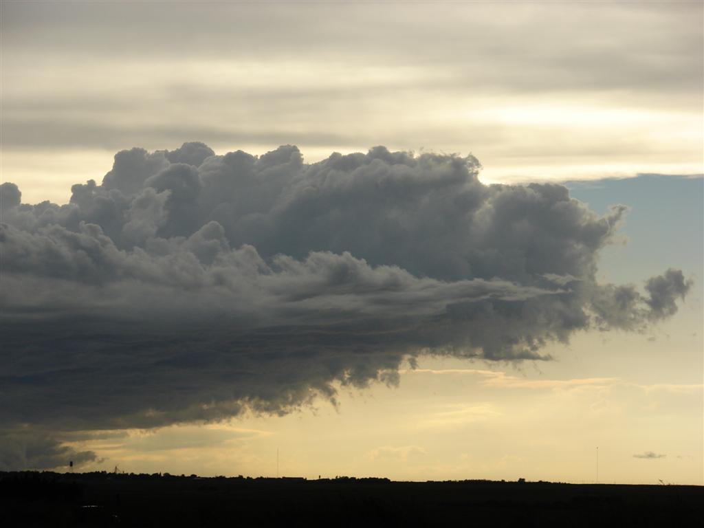
| A view down the hail covered farm road next to the highway, while a plow pushes the hail off it. | Impressive mammatus clouds on the back side of the storm. | Well off to the west, really cool cloud structure left over from a dead storm. | |
|
|
|
|
|
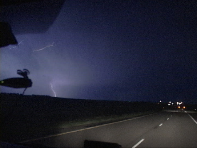
| An artsy shot as the tour guests are snapping pictures in every direction at dusk. | The cloud debris left over after the storm was really interesting. | One more shot of the mammatus as the sun goes down. | Driving back into Denver, another thunderstorm rolls out of the Rockies, so we get a lightning show on the way into town. |
All pictures (C) Richard Hamel 2017.