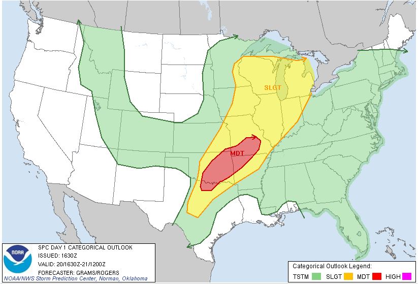
SPC Convective Outlook SPC Tornado Prob. NOAA Storm Report
May 20th, 2013, Bray, OK Tornado and Moore, OK Damage Path
Nothing in the following paragraphs is as important as the devastating tornado that occurred in Moore, OK, on this day, but nonetheless here is the write up:
We dubbed this day “Tour 3.5” since we gathered whatever guests had arrived early for the Prime Time Tour and any who wanted to stay an extra day from the previous tour to chase. We started the day in OKC under another moderate threat, targeting the area around Duncan, OK. As we headed south, numerous updrafts were showing explosive convective development already, including one we passed just to the east of that would over the next two hours develop into the supercell that dropped the Moore tornado. As we got about 20 miles south, we were fully aware that the storm looked ready to tornado, but decided we wanted nothing to do with chasing in a city again after our experiences in Joplin 2 years earlier so we elected to target the next storm south in line.
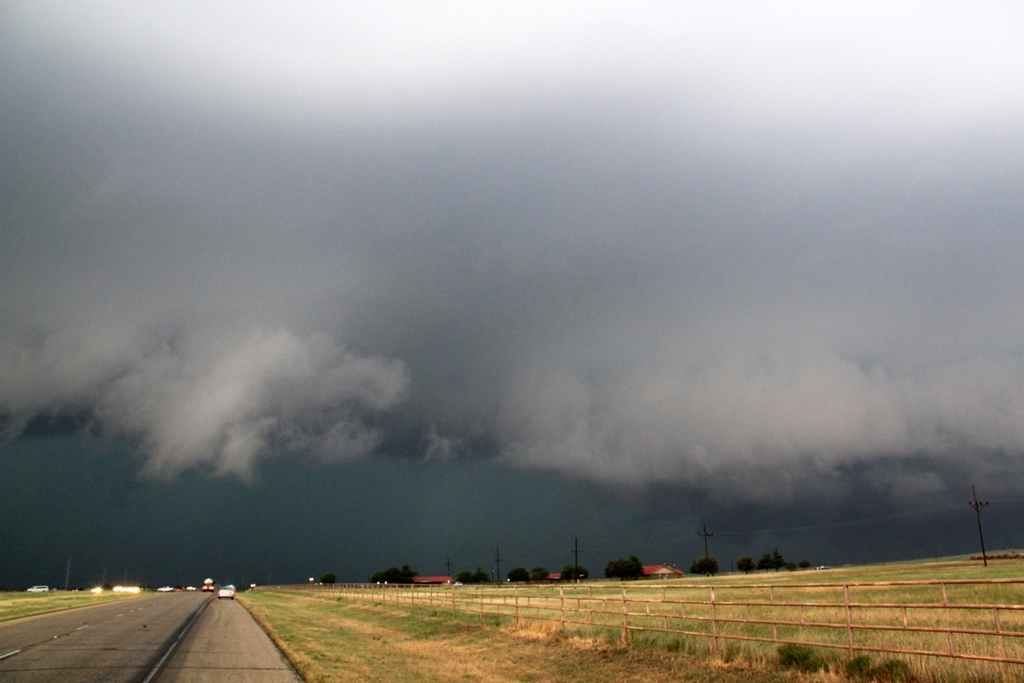
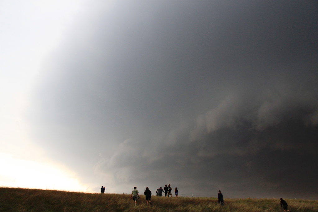
By the time we got to Chickasha, we realized that we already needed to get southeast, and headed down Rt. 19 towards Lindsay, then south on Rt. 76. By this time we were targeting an approaching tornado warned storm and had to race west to get to a south road so that we could get into position before we got crushed by big hail. We made it and got a view of the mesocyclone through the rain to the west of Bray. That was the recurring theme in our chase: because of the very high humidity, it was a very murky chase: it seemed like we were perpetually getting cored or running from hail. With limited road options, we could only find a spot and stop and wait for the storm to arrive, and we were eventually rewarded with a rain-wrapped cone tornado that lasted for about 5 minutes but was never very easy to see in the rain. We watched until the tornado roped out and then headed between the southern flank of our storm and the northern flank of a cell merging with it.
When that storm died out, we targeted a monster HP supercell that was next in line, but by the time we got to Fox (where the sports teams for the school are creatively known as the Foxes), we had a good view of the giant whale’s mouth of the storm and then the hook area and saw that it was an outflow dominant ice-machine, so we decided to blow it off and target the much better looking tail-end supercell that was tornado warned and running right along the red river. We passed through Healdton, then crossed the Red River into Texas and blasted west into Nocona just as the storm developed a monster hook echo and the tornado sirens began to blare. We pressed west to see the storm and found the hook was completely rain wrapped and soon were running east from the big hail in the storm. We stayed with that storm until Muenster but by now it had become a big HP linear system, so eventually we gave up and, after stopping for dinner, headed north on I-35 towards OKC. Once we got close, we detoured west to avoid the damage in Moore and eventually crossed the damage path at the Canadian River Bridge on I-44. The rail bridge over the Canadian was mangled, with whole trees stuck in the bridge’s metal superstructure where tornado had crossed when it had first touched down. It was an eerie flashback to Joplin for me as we drove back towards the city listening to the radio with the continuous news of the damage in Moore. Finally, we got back to the hotel, ending the chase for the day.
The following day, May 21st, we left OKC and headed south on I-35 with the plan being to get out in front of a squall line that was sweeping south from Oklahoma and either play any storms that developed in front of the line, or hope that discrete cells developed on the tail end. To head in that direction, we first had to pass through Moore on I-35 directly to the damage path, and so we saw firsthand the tremendous damage caused by the storm. It’s amazing how “discrete” tornado damage is: we passed though the path north to south, and went from no signs of damage briefly to nothing damaged but debris scattered on roofs and in yards, to everything totally destroyed, and back again in no time. I’d say the damage path was a few hundred yards wide where we crossed it, and was also only a mile or so south of the path of the 2003 tornado that also did a lot of damage in Moore. The pictures below are a combination of our chase on May 20th near Bray, and then shots of the damage path of the Moore tornado that we traversed on the 21st.
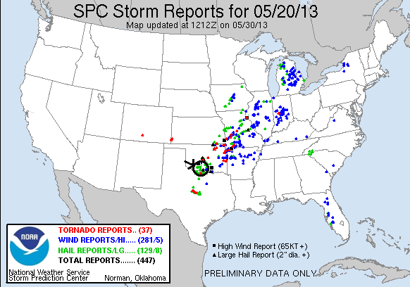
Though we didn’t chase the Moore storm, for the full NWS report on the Moore tornado including tornado tracks, radar images, damage reports, etc., go to Norman, OK NWS office page on the event at the following link:
http://www.weather.gov/oun/events-20130520
SPC
Convective Outlook SPC
Tornado Prob. NOAA Storm Report
 |
 |
 |
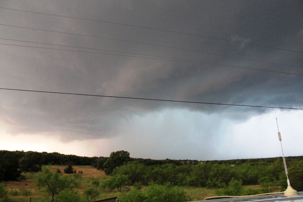 |
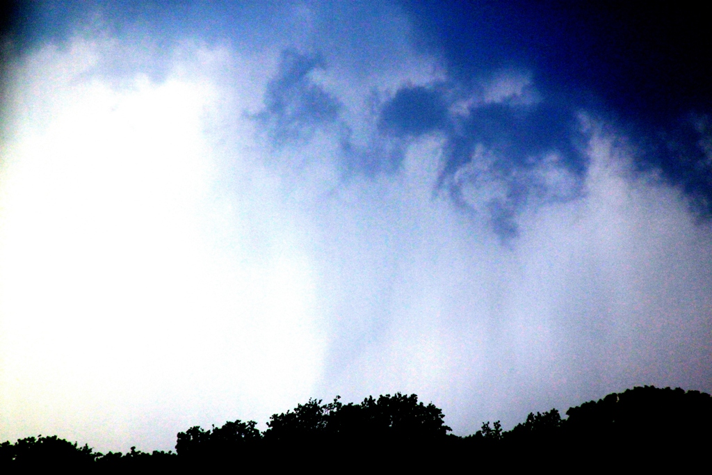
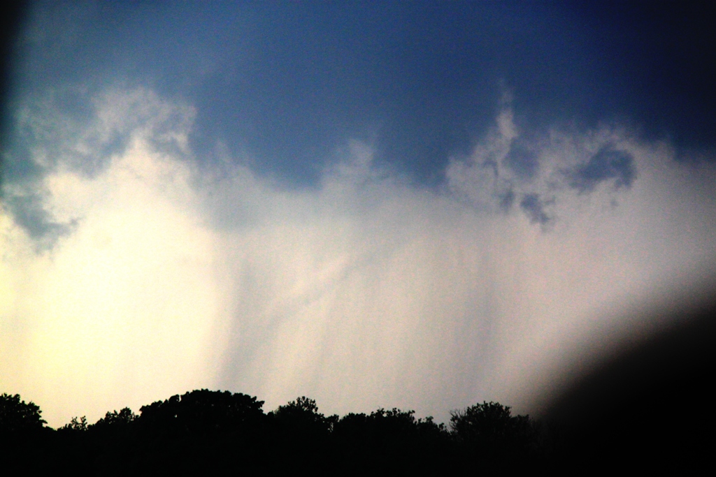
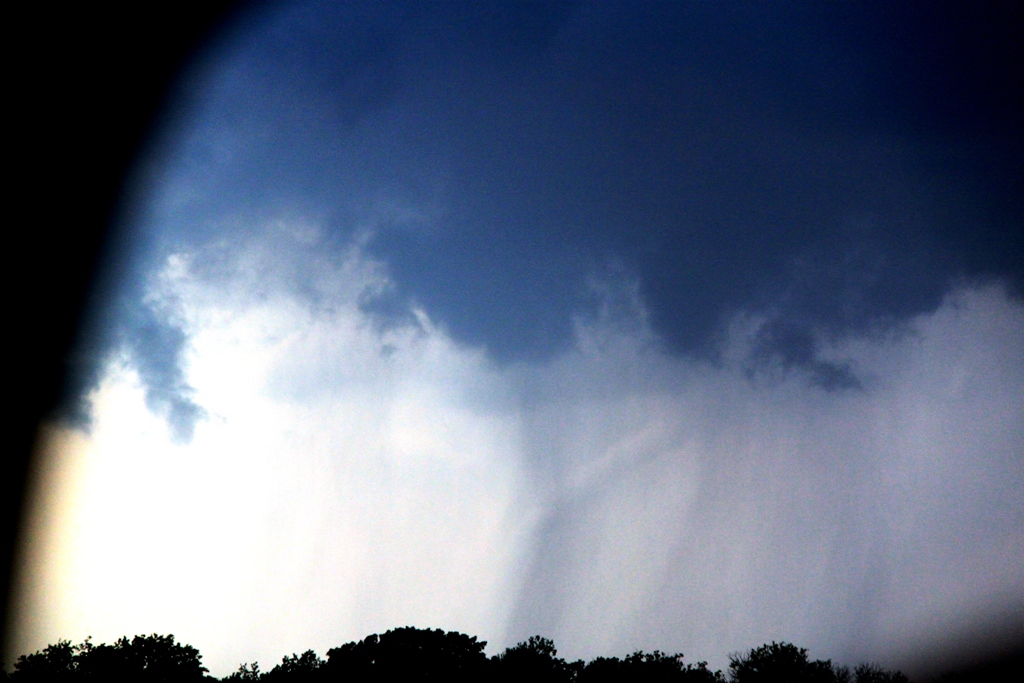
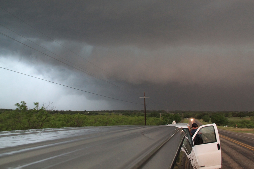
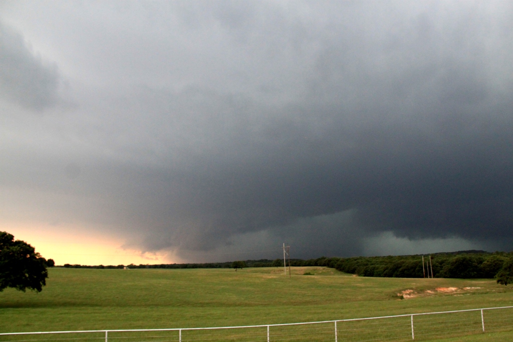
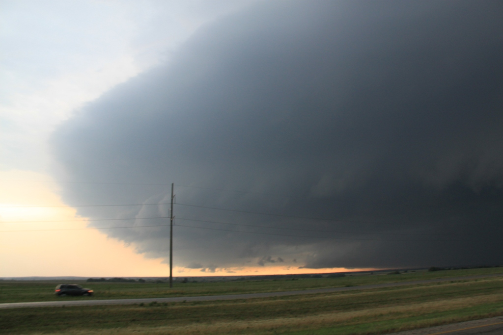
| We drove right by the Moore storm knowing that if it produced at tornado, it would happen right downtown and we didn't want to chase in a city again after our Joplin experience. We targeted the next storm to the south, and intercepted a rain wrapped tornado near Bray, OK. This picture is contrast enhanced to bring out the tornado. | The ropeout phase of the Bray tornado. | Enhanced contrast of the ropeout. | We charged south to intercept a tornado warned storm along the Red River near Nocona, TX. As we got to the town the tornado sirens were blaring but as we headed west out of town we found that the hook was wrapped in rain and the storm was going HP. Here, a big hail core approaches from the southwest. |
 |
 |
 |
 |
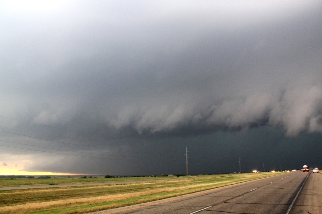
| And directly to the west, a tornado warned storm with a rain wrapped mesocyclone kept us moving east. | Wider view of another hail core. | The "whale's mouth" closing in on us fast. we started running to the east from the core, stopping every few miles to look back. | Shelf cloud to our south as the storm catches up to us. Time to get moving again! |
|
|
|
 |
 |
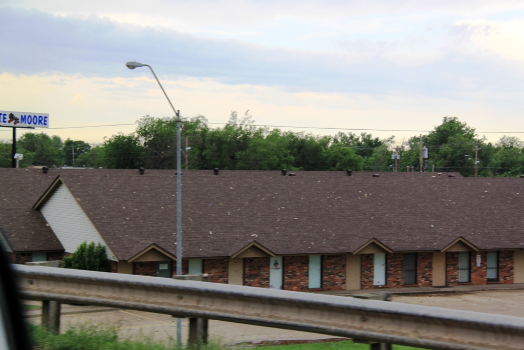
| The shear line just to our east with that turquoise hail glow behind the shelf cloud. | Now near Muenster, we stop again to watch as the storm closes in. Now completely high-precipitation, we gave up and called it a night. | Our target on May 21st was east of Dallas, TX, meaning our path took us right through the damage path of the Moore tornado. Tornado damage is fairly discrete, you are either in it or not it seems. Driving south on I-35, everything seemed pretty normal until we were only 1/4 of a mile from the damage path, where small debris began appearing on roofs and in yards. | More debris scattered on the ground. |
 |
 |
 |
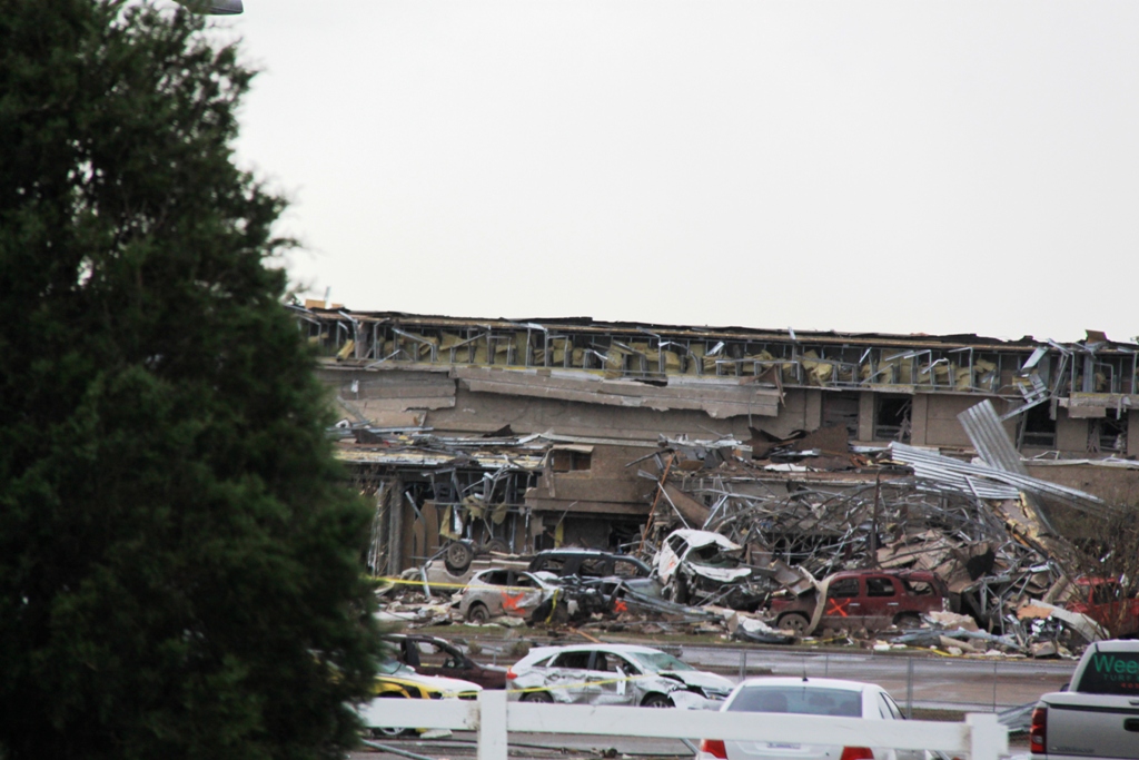 |
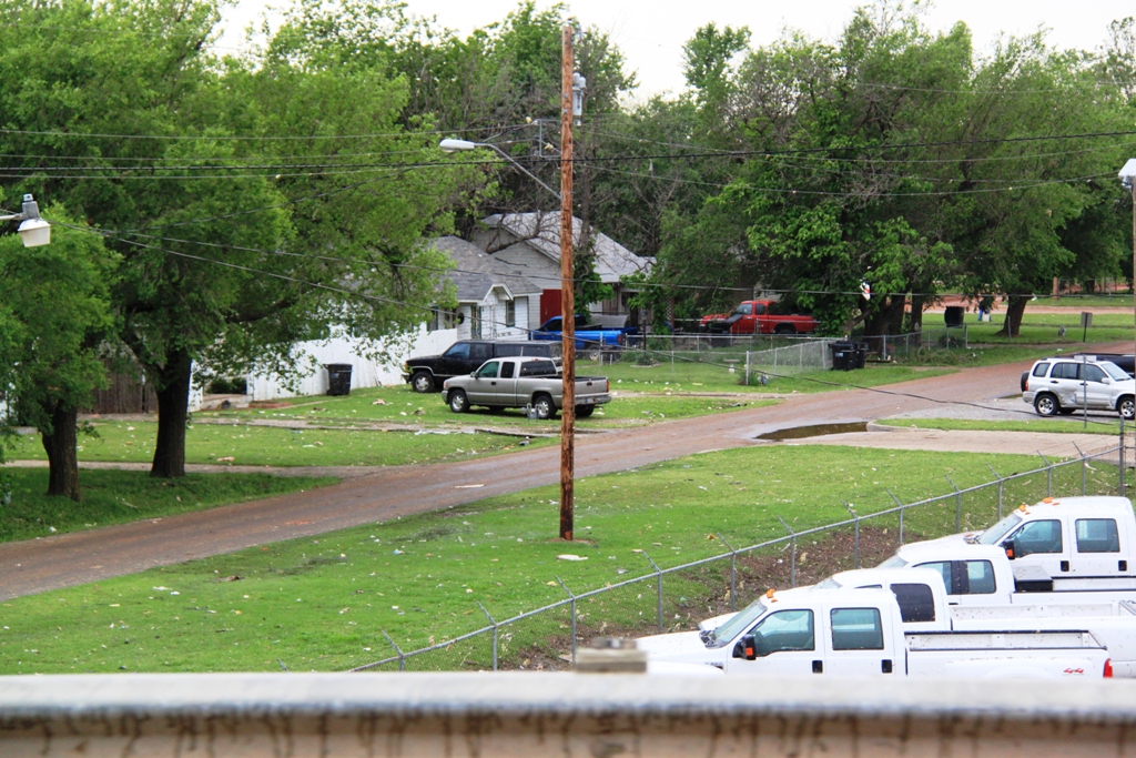
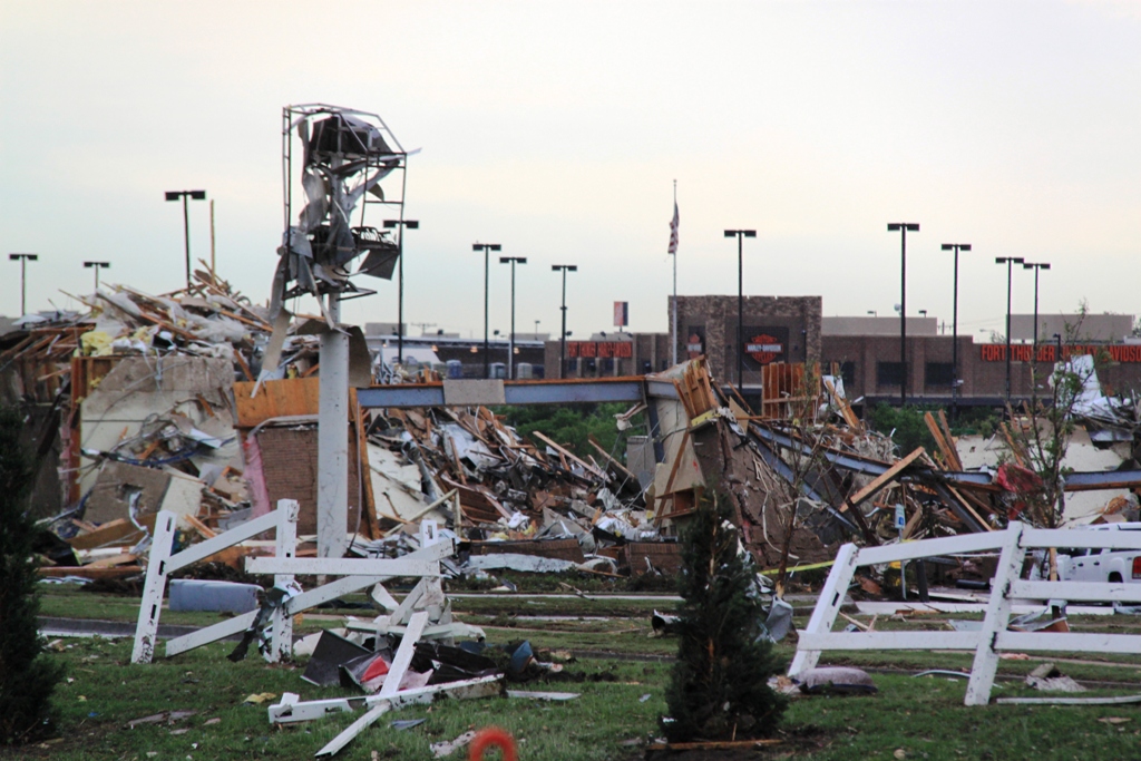
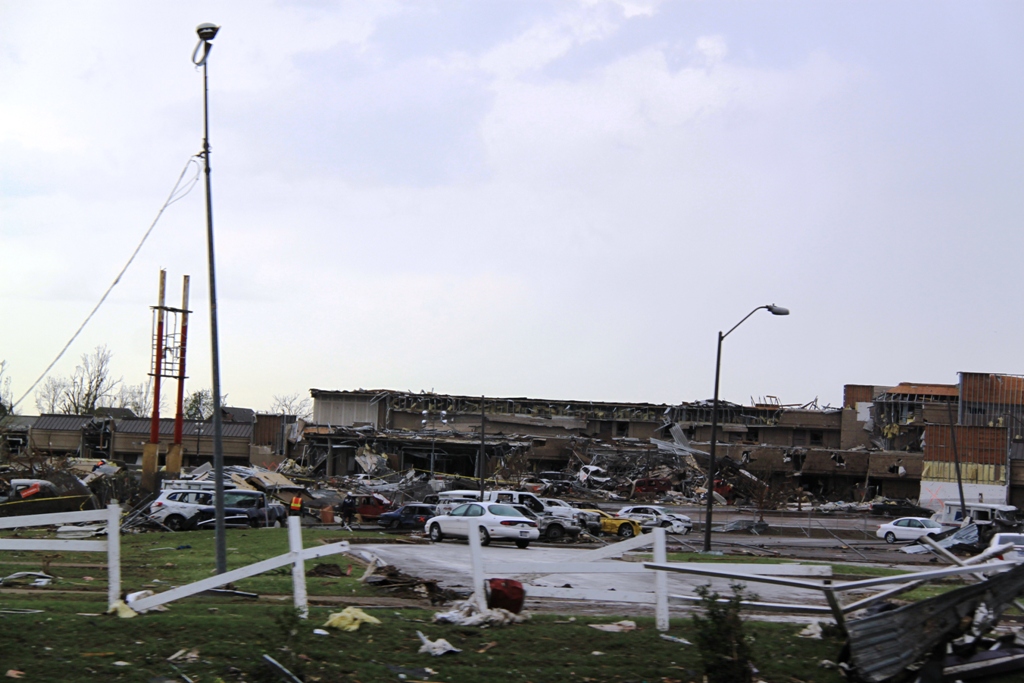
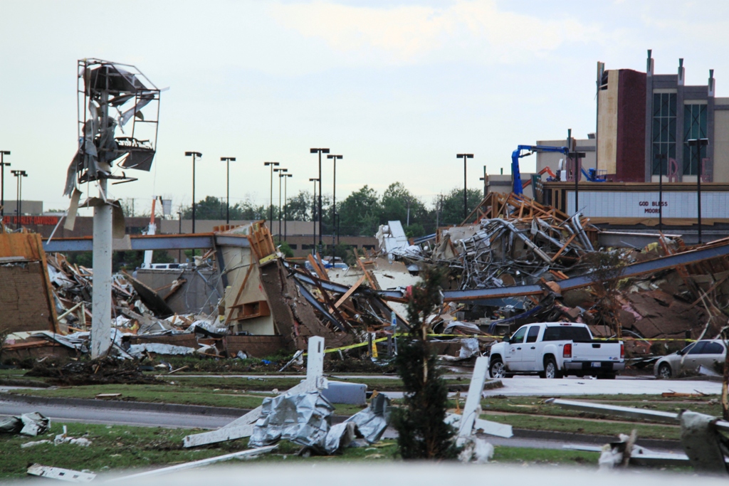
| All the buildings were splattered with mud as All the buildings were splattered with mud as well. | Just about to the main damage path, the debris got larger. | Main damage path of the Moore tornado, looking west from I-35. | Sidewall torn off a large building. |
 |
 |
 |
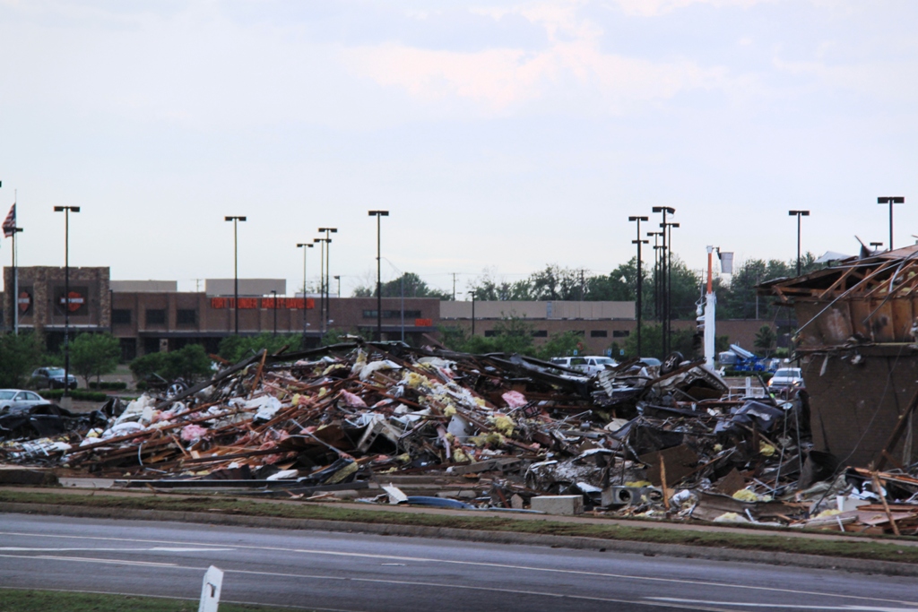 |
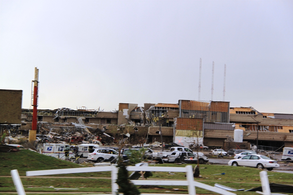
| Wide view of the same shot. | Major wreckage in what used to be a parking lot. | The building on the left must have been a post office? | Piles of wreckage and damaged cars. |
 |
 |
 |
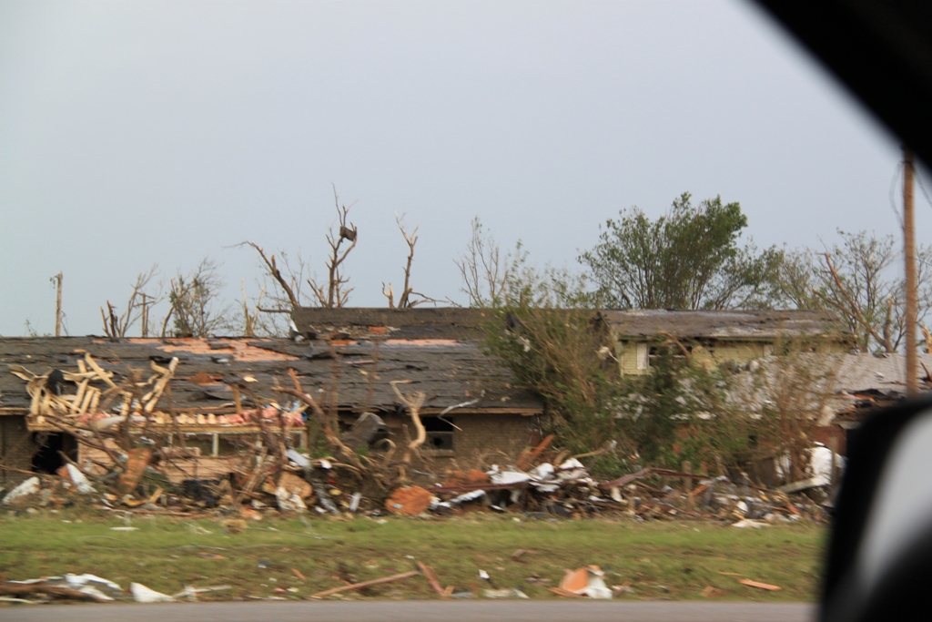 |
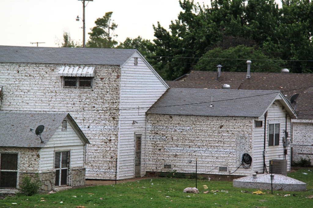
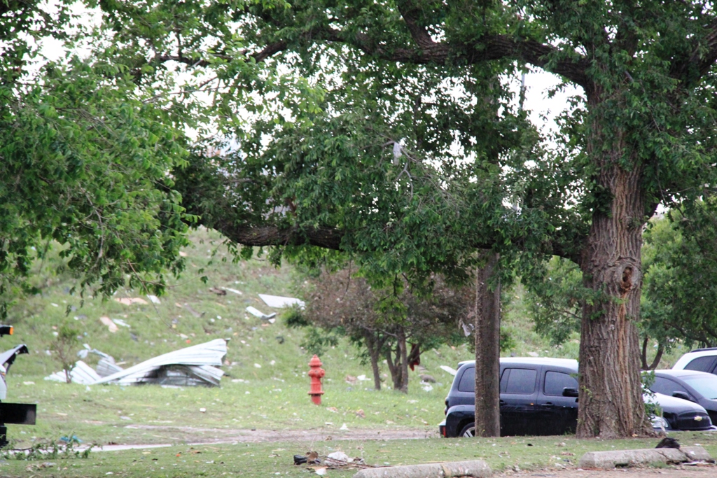
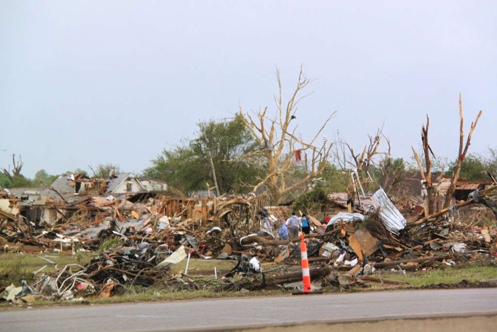
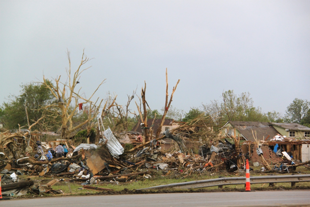
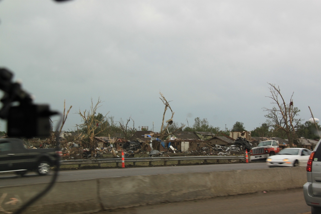
| On the east side of the highway in a more residential area, debarked trees and wrecked houses. | ...and more... | Wider view | Destroyed house. |
All pictures (C) Richard Hamel 2017.