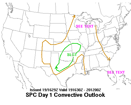
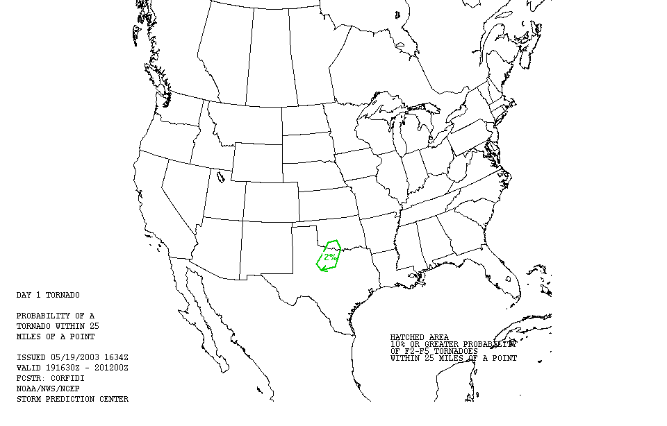
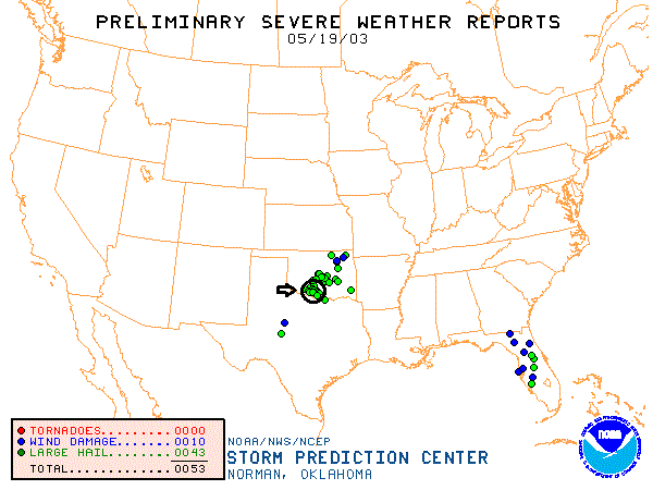
SPC Convective Outlook SPC Tornado Prob. NOAA Storm Report
May 19th, 2003 Healdton, OK Supercell
A marathon chase
day. We drove 800 miles over 14 hours including 2-3 hours of chasing. Starting
in Burlington, CO, we drove through Kansas and into Wichita before even
stopping, then stopped at Perry, OK for a data check. A satellite image we
downloaded showed a clear ribbon cloud extending from Northeast Kansas all the
way into the Abilene, TX area through OKC, with mature storms (leftovers from
the previous night) occurring up in Kansas and storms starting to fire along the
line down in Texas. Though the conditions and SPC data indicated the area where
we were to be the best for supercell formation, nothing seemed to be breaking
and it looked like it wouldn’t happen until after dark, so we booked our hotel
and proceeded towards Oklahoma City, but then a series of storms started to fire
near Lawton, OK. We blasted south and southwest and eventually intercepted a
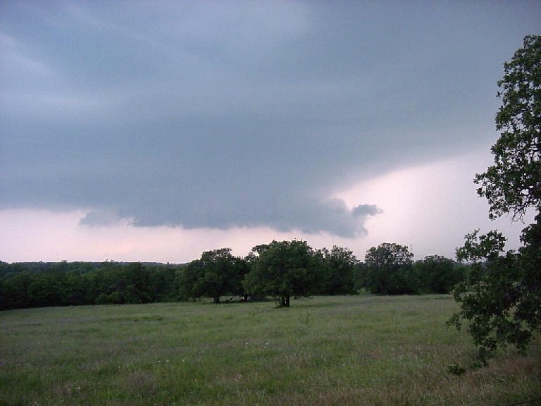
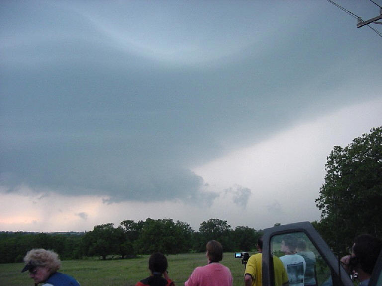
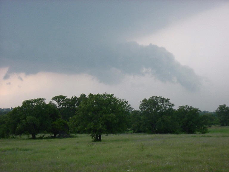
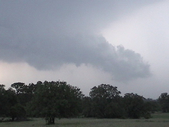
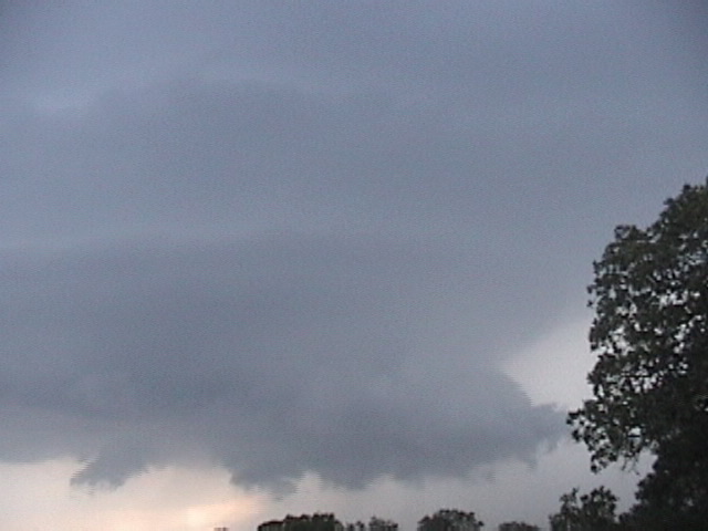
classic supercell with terrific structure near Healdton, not far from the Texas
border, that had a tornado warning on it. The storm had all of the classic storm
features: well defined inflow bands from 3 directions, a wall cloud with large
skud attaching to it, and 4 beautifully striated stacked plates on top. Though
the mid-level rotation was obviously strong, it was missing the level of
rotation it needed at low levels to produce a tornado. I’m not sure what
instigated the tornado warning but I would guess it was Doppler indicated for
the mid-level rotation. Interestingly right around the time the wall cloud
seemed to be getting well organized, POOF!! The updraft died.
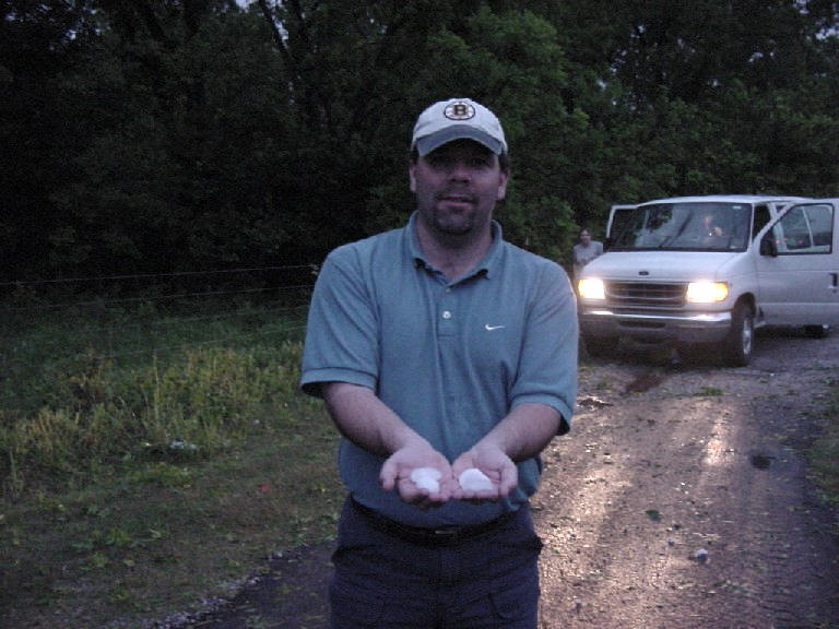
We then decided to use my van (since it didn’t have the satellite gear on it) as
a "hail probe" and I drove into the precip core looking for at least golf balls,
but aside from almost running over an armadillo that was running across the road
it was not very exciting as the core had only a little hail remaining in it.
Nonetheless we went hail hunting after the storm had passed and found numerous
stones of a little better than golf ball size even an hour after the storm had
ended. During the storm, “hail roar” was audible most of the time from where we
were.
On the way back to OK City we had to drive through a storm with a severe warning
on it and saw an unbelievable series of CG strikes that caused the low stratus
deck to glow blue and green above the repeating strikes. It was an awesome
display. The severe warnings continued through the night but none ever got
tornado warnings to my knowledge.
SPC
Convective Outlook SPC
Tornado Prob.
NOAA Storm Report
 |
 |
 |
 |
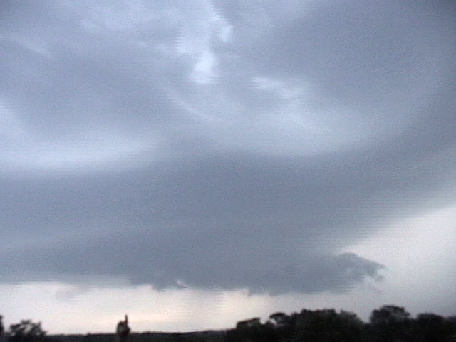
| Well defined wall cloud lowering with tail cloud. | Upper level striations indicate rotation. | ||
 |
 |
 |
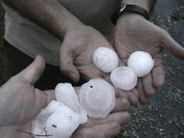 |
| After the storm we went hail hunting. | Golf ball and larger hail. These stones were found over an hour after the storm passed through, how big were they when they fell? |
All pictures (C) Richard Hamel 2017.