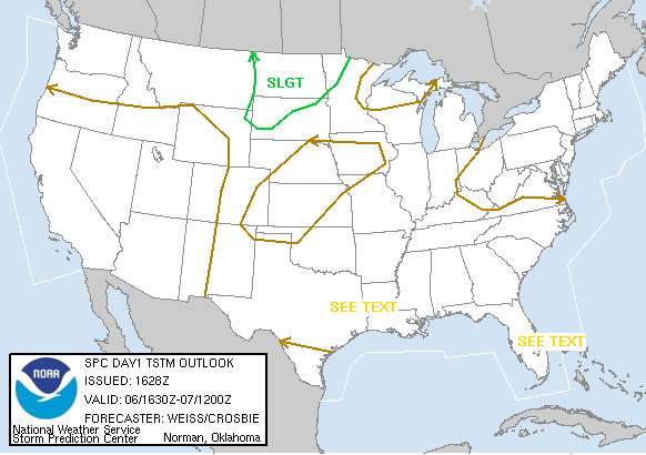
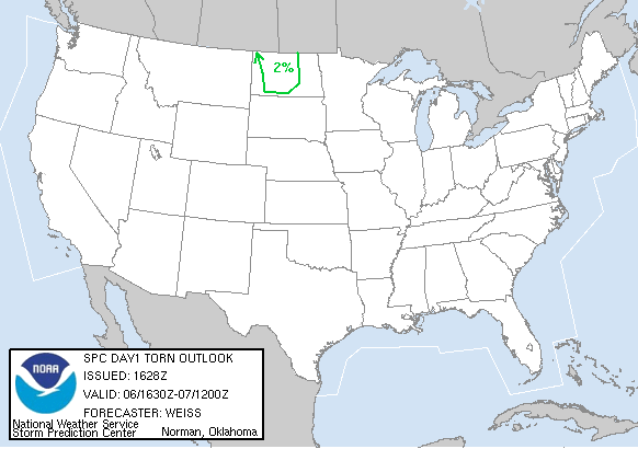
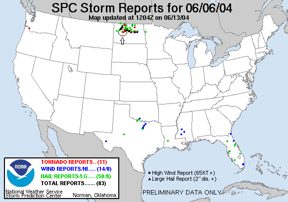
SPC Convective Outlook SPC Tornado Prob. NOAA Storm Report
June 6th, 2004 Max, ND Supercells
Starting in Denver, CO, we drove hard
all day and went 932 miles to see 2 very nice storms but missed a tornado by
about 10 minutes. Initially we were along a trio of high-based supercells that
had great structure. We chose to go after the southern one but had problems with
Lake Sakakawea and were forced to drive 84 miles east to get across! That may
have cost us the tube...
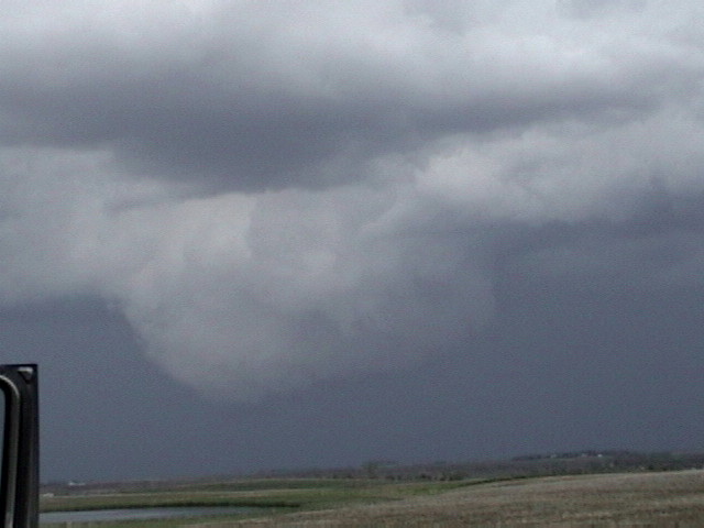
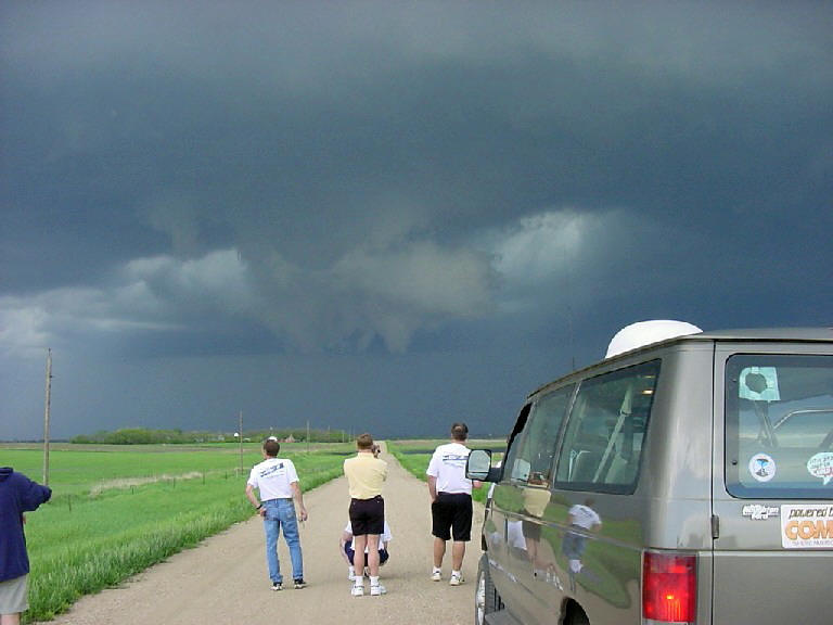
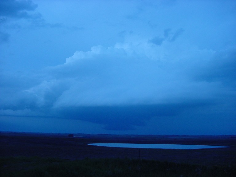
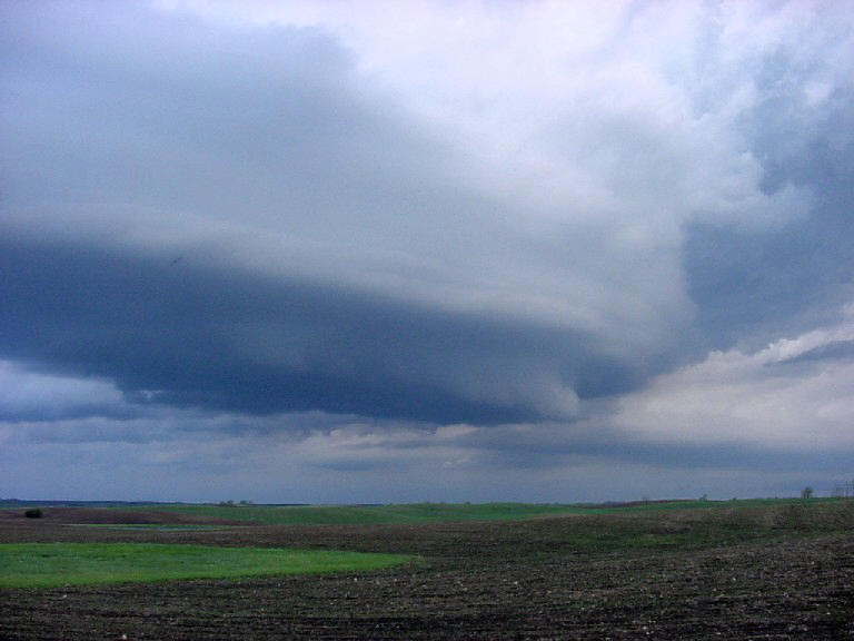
The southern storm was the first we intercepted, near Velva, ND and had
fantastic structure but appeared to be way too high based to produce a tornado.
As it got into the better moisture the base got lower and produced before we got
there, only giving us a brief glimpse of the rope out. The storm had at least 3
well defined beaver tails and a great rotating mesocyclone and generated several
large gustnadoes as it became outflow dominant. We stuck with it for quite a
while because it was such a picturesque storm.
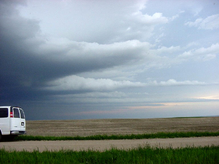
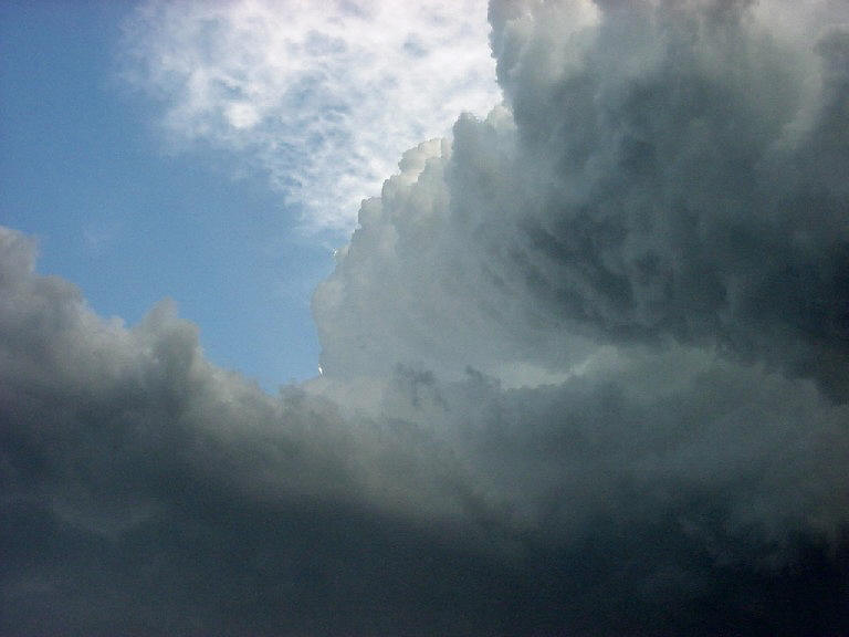
The second storm was near Benedict, ND and rode right up the outflow boundary
left from our first storm. It was an easy intercept but the storm was ingesting
the cold outflow from the previous storm and ended up being a very high-based LP
supercell that was spinning like crazy. The storm was in a very high shear
environment and was bent over so far that it literally looked horizontal, almost
like a Slinky, yet it continued to rotate and produced a nice striated stack of
plates before it finally died.
SPC
Convective Outlook SPC
Tornado Prob.
NOAA Storm Report
 |
 |
 |
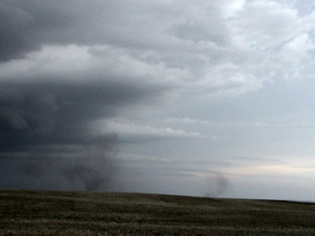 |
| Large wall cloud to our north. | The guests watch as the wall cloud passes to the east but does not produce a tornado. | Impressive inflow bands on this storm! | A number of gustnadoes form on the shear line. |
 |
 |
 |
 |
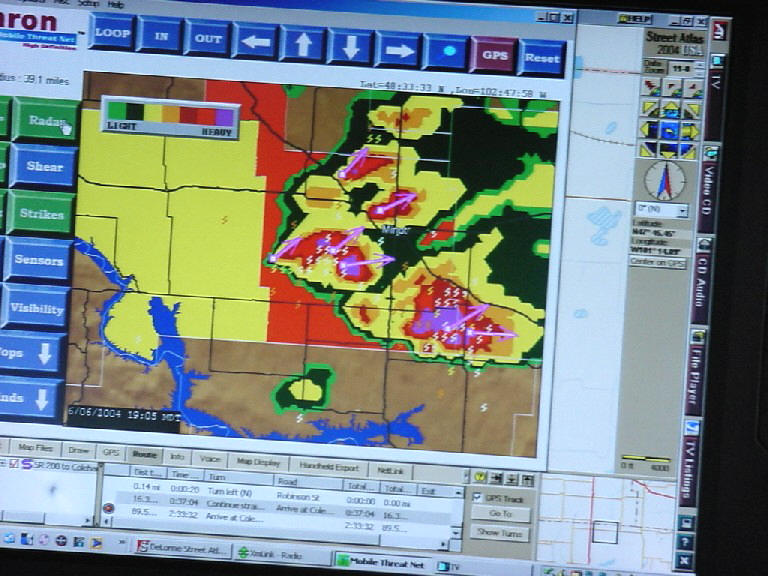
| Our storms on Wx-Worx Mobile Threat Net. | On to the second storm. A nice LP storm with great structure and a well defined wall cloud. | The updraft from our position beneath it. | Striated updraft with striations. |
All pictures (C) Richard Hamel 2017.