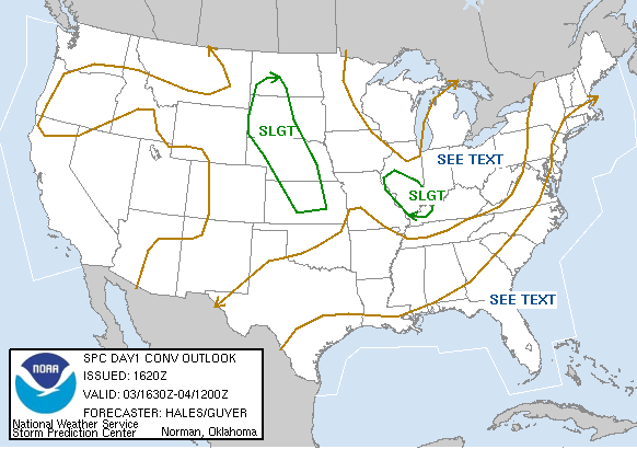
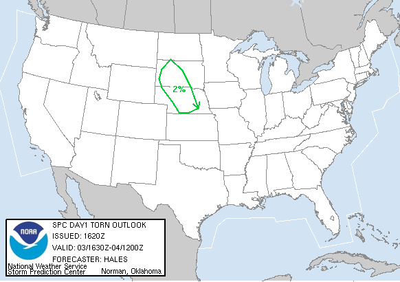
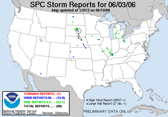
SPC Convective Outlook SPC Tornado Prob. NOAA Storm Report
June 3rd, 2006 Highmore, SD Severe Storms
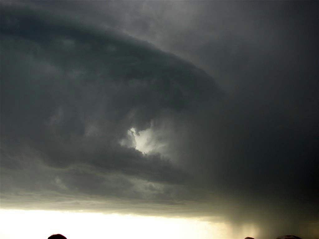
After spending the early part of the day in the Badlands, we ended up chasing north of Highmore, SD and intercepted a line of 3 cells, the southern most of which became a nice LP storm with impressive mid-level banding. As usual, we went to sample the hail core since the storms were too high based to produce tornadoes, but in this year of the anchored storm the big hail remained to the west of the road just out of reach.
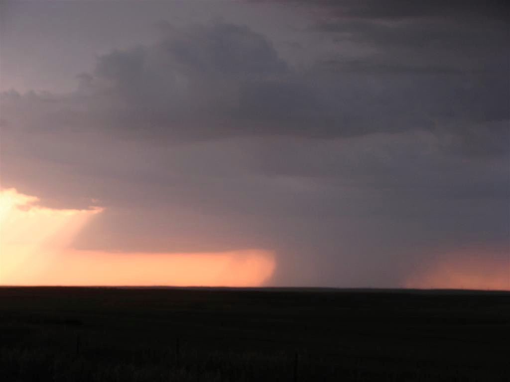
When the storm started to rain out it came down fast, producing a nice rain foot and what appeared to be at least one wet microburst. Lastly, as we finally drove away, the storm gave us a beautiful sunset. We then had to drive a grueling 350+ miles down to Kearney, NE, arriving at about 2:30 AM.
SPC
Convective Outlook SPC
Tornado Prob.
NOAA Storm Report
 |
 |
 |
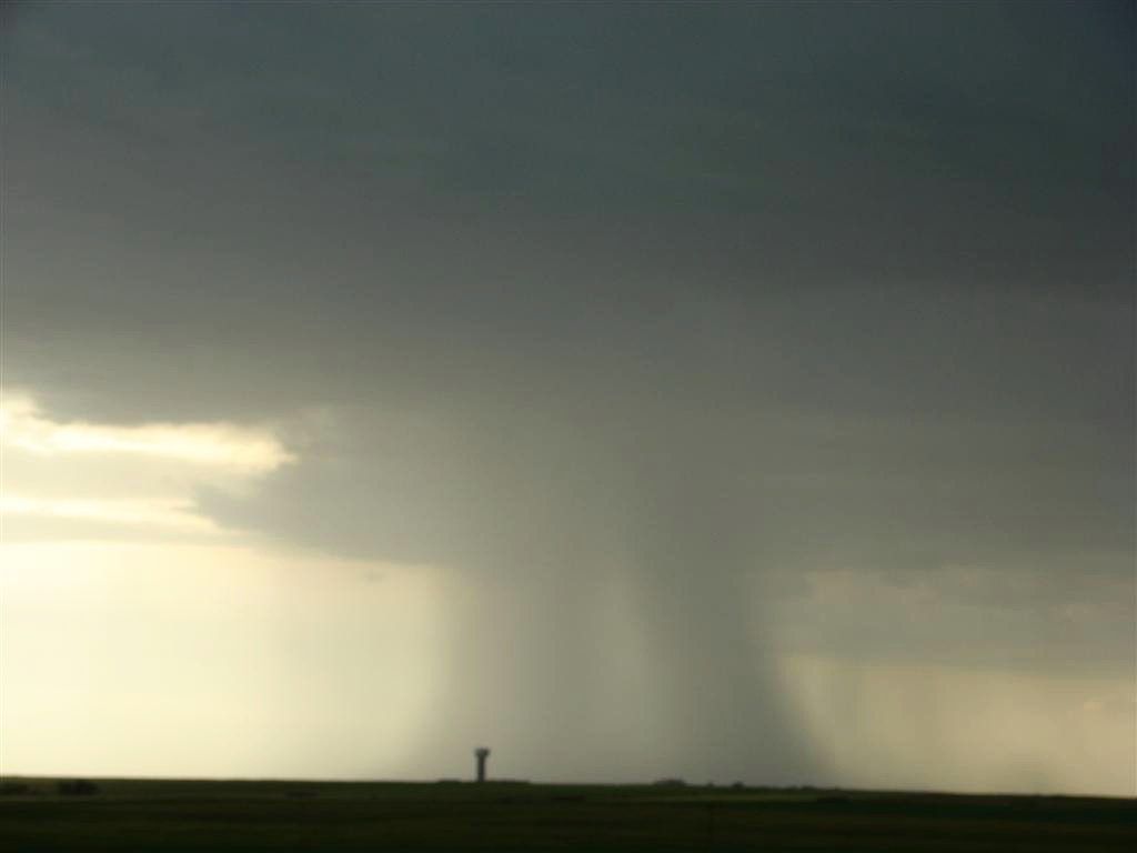 |
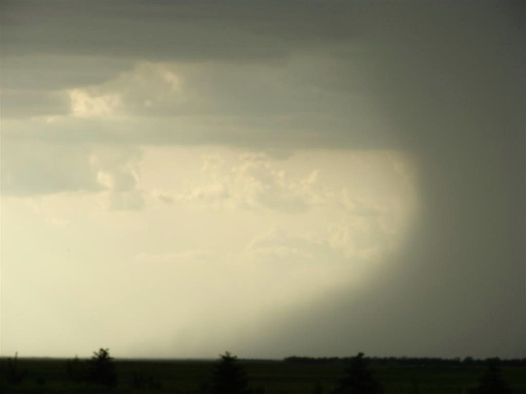
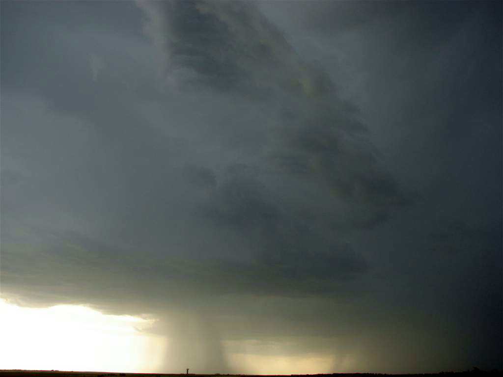
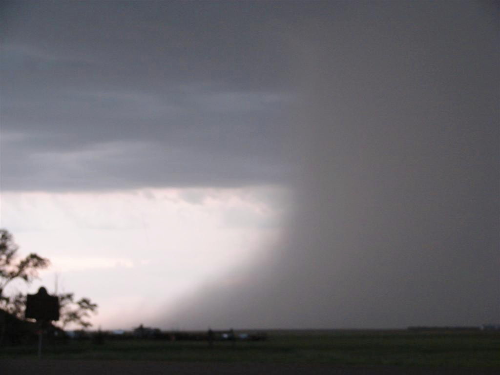
| Mid-level banding in the initial cell. | When these storms began to collapse, the precip came down in a hurry. | Possible wet microburst in the distance. | A closer look as the rain hits the ground flaring in both directions. |
 |
 |
 |
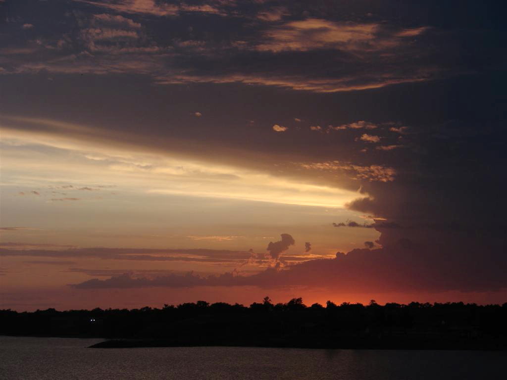 |
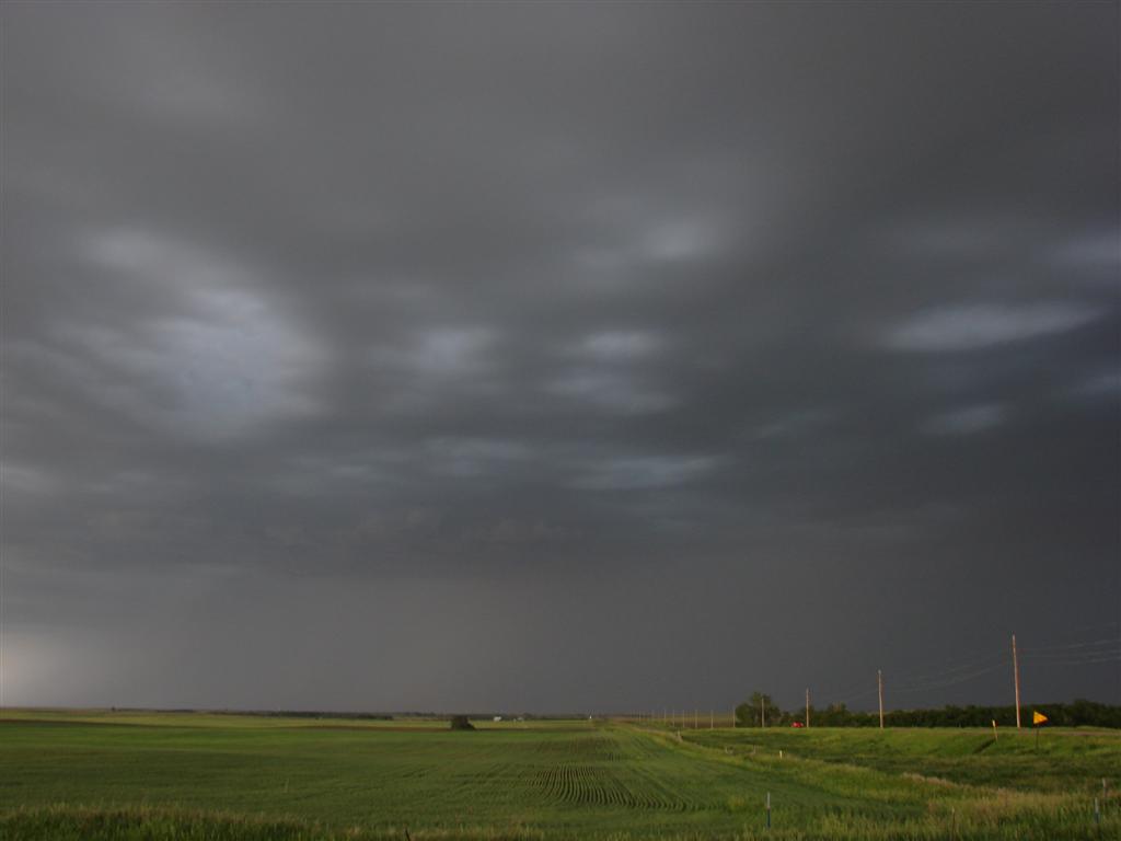
| Massive rain-foot in the second cell. | Nice liberty bell updraft off in the distance as another storm goes severe, but we ran out of time and had to head for the hotel. | Odd light patterns under the anvil. | Awesome sunset near the Big Bend Dam on the way down to Nebraska. |
All pictures (C) Richard Hamel 2017.